Soledad - Clark Ranch
Airport details
| Country | United States of America |
| State | California |
| Region | |
| Airspace | Oakland Ctr |
| Municipality | Monterey County |
| Elevation | 272ft (83m) |
| Timezone | GMT -8 |
| Coordinates | 36.36618, -121.31266 |
| Magnetic var | |
| Type | land |
| Available since | X-Plane v10.40 |
| ICAO code | 3CA9 |
| IATA code | n/a |
| FAA code | 3CA9 |
Communication
Nearby Points of Interest:
Odd Fellows Hall
-King City High School Auditorium
-Bear Valley School
-Samuel M. Black House
-Monterey County Court House
-Monterey County Jail
-B. V. Sargent House
-Peter J. Bontadelli House
-Downtown Hollister Historic District
-Hollister Carnegie Library
-Fort Ord Station Veterinary Hospital
-Rozas House
-G. T. Marsh and Sons
-Cathedral of San Carlos Borromeo
-Mary C. W. Black Studio House
-Monterey State Historic Park
-Larkin House
-Whalers Cabin
-James W. Finch House
-Tor House and Hawk Tower
-Lou Ellen Parmelee House
Runway info
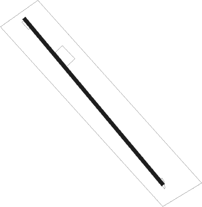
| Runway 13 / 31 | ||
| length | 717m (2352ft) | |
| bearing | 138° / 318° | |
| width | 12m (39ft) | |
| surface | asphalt | |
Nearby beacons
| code | identifier | dist | bearing | frequency |
|---|---|---|---|---|
| UAD | CHUALAR (SALINAS) NDB | 10.8 | 308° | 263 |
| BSR | BIG SUR VORTAC | 19.4 | 241° | 114 |
| SNS | SALINAS VORTAC | 22.7 | 316° | 117.30 |
| HGT | HUNTER LIGGETT NDB | 25 | 163° | 209 |
| PXN | PANOCHE VORTAC | 33.2 | 57° | 112.60 |
| MR | MUNSO (MONTEREY) NDB | 33.8 | 292° | 385 |
| PRB | PASO ROBLES VORTAC | 53.3 | 135° | 114.30 |
| HYP | EL NIDO (MERCED) VOR/DME | 67.4 | 47° | 114.20 |
Disclaimer
The information on this website is not for real aviation. Use this data with the X-Plane flight simulator only! Data taken with kind consent from X-Plane 12 source code and data files. Content is subject to change without notice.