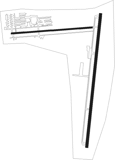
Wadsworth - Wadsworth Muni
Airport details
| Country | United States of America |
| State | Ohio |
| Region | K5 |
| Airspace | Cleveland Ctr |
| Municipality | Wadsworth |
| Elevation | 974ft (297m) |
| Timezone | GMT -5 |
| Coordinates | 41.00316, -81.75644 |
| Magnetic var | |
| Type | land |
| Available since | X-Plane v10.40 |
| ICAO code | 3G3 |
| IATA code | n/a |
| FAA code | 3G3 |
Communication
| Wadsworth Muni CTAF/UNICOM | 122.800 |
| Wadsworth Muni AKRON CANTON Approach/Departure | 118.600 |
Nearby Points of Interest:
Ezekiel B. Zimmerman Octagon House
-Anna-Dean Farm
-O. C. Barber Piggery
-O. C. Barber Barn No. 1
-O. C. Barber Creamery
-Ault-Weygandt Farm
-O. C. Barber Colt Barn
-Medina Masonic Temple and Medina Theater
-Frank Mason Raymond House
-Dr. Robert Smith House
-Akron Jewish Center
-Grace Reformed Church
-Akron YMCA Building
-Akron Rural Cemetery Buildings
-Summit County Courthouse
-Huntington Tower
-The Gothic Building
-Cascade Locks Historic District
-Akron Public Library
-Eagles Temple
-Akron Post Office and Federal Building
-St. Paul's Sunday School and Parish House
-Lutz-Martin Farm
-Goodyear Hall-Ohio Savings and Trust Company
-Botzum Farm

Nearby beacons
| code | identifier | dist | bearing | frequency |
|---|---|---|---|---|
| AK | AKRON NDB | 17.1 | 80° | 362 |
| BSV | BRIGGS VOR/DME | 21.5 | 129° | 112.40 |
| ACO | AKRON VOR/DME | 25.9 | 79° | 114.40 |
| DJB | DRYER VOR/DME | 28.1 | 311° | 113.60 |
| MF | MANNS (MANSFIELD) NDB | 34.3 | 251° | 372 |
| BF | TABEY (CLEVELAND) NDB | 34.9 | 18° | 248 |
| MFD | MANSFIELD VORTAC | 38.7 | 261° | 108.80 |
| CXR | CHARDON VOR/DME | 40.8 | 49° | 112.70 |
| LQL | LAKELAND (WILLOUGHBY) NDB | 44.2 | 29° | 263 |
| CTW | DME | 48.2 | 160° | 111.80 |
| CFX | CADIZ NDB | 57.1 | 136° | 239 |
| APE | APPLETON VORTAC | 63.7 | 224° | 116.70 |
| AIR | BELLAIRE VOR/DME | 73.1 | 136° | 117.10 |
Instrument approach procedures
| runway | airway (heading) | route (dist, bearing) |
|---|---|---|
| RW02 | DALTS (4°) | DALTS 3100ft |
| RNAV | DALTS 3100ft FOSGO (9mi, 359°) 2600ft UCURO (turn) 2220ft 3G3 (4mi, 12°) 995ft (5032mi, 117°) 1374ft DALTS (5032mi, 297°) 3100ft DALTS (turn) |
Disclaimer
The information on this website is not for real aviation. Use this data with the X-Plane flight simulator only! Data taken with kind consent from X-Plane 12 source code and data files. Content is subject to change without notice.