Kingwood - Dawson Aaf
Airport details
| Country | United States of America |
| State | West Virginia |
| Region | K6 |
| Airspace | Cleveland Ctr |
| Municipality | Preston County |
| Elevation | 1265ft (386m) |
| Timezone | GMT -5 |
| Coordinates | 39.45009, -79.66644 |
| Magnetic var | |
| Type | land |
| Available since | X-Plane v10.40 |
| ICAO code | 3G5 |
| IATA code | n/a |
| FAA code | n/a |
Communication
| Dawson AAF CTAF/UNICOM | 122.900 |
Nearby Points of Interest:
Kingwood Historic District
-James Clark McGrew House
-Virginia Furnace
-Tunnelton Railroad Depot
-James S. Lakin House
-Terra Alta Bank
-Indian Rocks Dining Hall
-Col. Thomas Brown House
-Arthurdale
-Ralphsnyder Decagonal Barn
-Reckart Mill
-Brookside Historic District
-Gaymont
-A.W. Gribble Farm
-Oakland station
-Garrett County Courthouse
-Oakland Historic District
-Camp Rhododendron
-Creedmore
-Cooper's Rock State Forest Superintendent's House and Garage
-Pennington Cottage
-Harner Homestead
-Easton Roller Mill
-Second Ward Negro Elementary School
-Kern's Fort
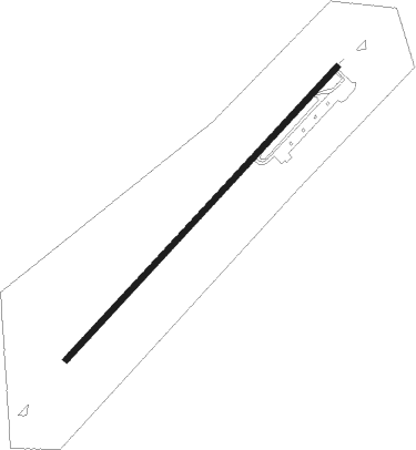
Runway info
| Runway 5 / 23 | ||
| length | 1068m (3504ft) | |
| bearing | 54° / 234° | |
| width | 15m (50ft) | |
| surface | asphalt | |
| blast zone | 201m (659ft) / 104m (341ft) | |
Nearby beacons
| code | identifier | dist | bearing | frequency |
|---|---|---|---|---|
| MGW | MORGANTOWN VOR/DME | 11 | 299° | 111.60 |
| VV | CAMOR (CONNELLSVILLE) NDB | 26.2 | 350° | 299 |
| CKB | CLARKSBURG VOR/DME | 30.3 | 252° | 112.60 |
| GRV | DME | 30.6 | 73° | 112.30 |
| ESL | KESSEL VOR/DME | 34.2 | 108° | 110.80 |
| IHD | INDIAN HEAD VORTAC | 34.5 | 30° | 108.20 |
| RQY | RANDOLPH CO. (ELKINS) NDB | 34.5 | 199° | 284 |
| EKN | ELKINS VORTAC | 37.9 | 219° | 114.20 |
| SYS | STOYSTOWN (SOMERSET) NDB | 51.5 | 50° | 209 |
| AGC | ALLEGHENY (PITTSBURGH) VOR/DME | 52.6 | 336° | 110 |
| HLG | WHEELING VOR/DME | 63.9 | 312° | 112.20 |
| JST | JOHNSTOWN VOR/DME | 64.6 | 44° | 113 |
Disclaimer
The information on this website is not for real aviation. Use this data with the X-Plane flight simulator only! Data taken with kind consent from X-Plane 12 source code and data files. Content is subject to change without notice.