Litchfield - Litchfield Muni
Airport details
| Country | United States of America |
| State | Illinois |
| Region | K5 |
| Airspace | Kansas City Ctr |
| Municipality | Litchfield |
| Elevation | 688ft (210m) |
| Timezone | GMT -6 |
| Coordinates | 39.16250, -89.67464 |
| Magnetic var | |
| Type | land |
| Available since | X-Plane v10.40 |
| ICAO code | 3LF |
| IATA code | n/a |
| FAA code | n/a |
Communication
| Litchfield Muni AWOS 3 | 118.175 |
| Litchfield Muni CTAF/UNICOM | 122.800 |
| Litchfield Muni ST LOUIS Approach/Departure | 124.200 |
Nearby Points of Interest:
Brown Shoe Company Factory
-Litchfield Public Library
-Litchfield Elks Lodge No. 654
-Manske-Niemann Farm
-Samuel Moody Grubbs House
-Freeman-Brewer-Sawyer House
-Montgomery County Courthouse
-George Blackman House
-Hayward-Hill House
-U.S. Route 66
-Carlinville Chapter House
-John C. Anderson House
-Greenville Public Library
-J. L. Robinson General Store
-Bethalto Village Hall
-Marine Chapter House
-John Weir House
-Narodni Sin
-Edwardsville Chapter House
-Berleman House
-St. Louis Street Historic District
-LeClaire Historic District
-Upper Alton Historic District
-John Carney House
-William W. Jarvis House
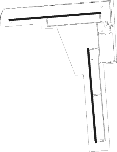
Runway info
Runway 18 / 36  | ||
| length | 1222m (4009ft) | |
| bearing | 180° / 360° | |
| width | 23m (75ft) | |
| surface | asphalt | |
| Runway 9 / 27 | ||
| length | 1186m (3891ft) | |
| bearing | 90° / 270° | |
| width | 23m (75ft) | |
| surface | asphalt | |
Nearby beacons
| code | identifier | dist | bearing | frequency |
|---|---|---|---|---|
| CVM | CIVIC MEMORIAL (ALTON) NDB | 24 | 235° | 263 |
| GRE | GREENVILLE NDB | 24.2 | 137° | 233 |
| VLA | VANDALIA VOR/DME | 24.2 | 98° | 114.30 |
| TOY | TROY VORTAC | 27.8 | 210° | 116 |
| SP | HUSKK (SPRINGFIELD) NDB | 36.8 | 352° | 382 |
| SKE | SCOTT (BELLEVILLE) TACAN | 37.9 | 196° | 112.20 |
| CJ | CALDE (SPRINGFIELD) NDB | 38.1 | 7° | 240 |
| CSX | DME | 40.4 | 239° | 116.45 |
| SPI | SPINNER (SPRINGFIELD) VORTAC | 40.6 | 360° | 112.70 |
| JD | GOOEY (BELLEVILLE) NDB | 41.2 | 185° | 385 |
| SYZ | SHELBYVILLE NDB | 41.3 | 74° | 365 |
| STL | SAINT LOUIS VORTAC | 41.8 | 250° | 117.40 |
| CP | ACORE (CAHOKIA/ST LOUIS) NDB | 42.5 | 211° | 350 |
| LQ | LICOL (SPRINGFIELD) NDB | 45.1 | 5° | 375 |
| IJX | DME | 45.2 | 317° | 108.60 |
| FZ | EAVES (ST LOUIS) NDB | 50.1 | 241° | 227 |
| DE | ELWIN (DECATUR) NDB | 50.3 | 49° | 275 |
| ENL | CENTRALIA VORTAC | 50.7 | 145° | 115 |
| AXC | ADDERS VORTAC | 51.3 | 55° | 117.20 |
| AAA | ABRAHAM (LINCOLN) NDB | 61.9 | 19° | 329 |
| VNN | VERNON DME | 62.9 | 133° | 113.80 |
Instrument approach procedures
| runway | airway (heading) | route (dist, bearing) |
|---|---|---|
| RW09 | FASHE (87°) | FASHE OFBEP (16mi, 84°) 3000ft |
| RW09 | LITCH (156°) | LITCH AHIQU (11mi, 226°) 3000ft OFBEP (5mi, 180°) 3000ft |
| RW09 | OFBEP (91°) | OFBEP 3000ft |
| RNAV | OFBEP 3000ft TOBFE (6mi, 90°) 2300ft 3LF (5mi, 92°) 722ft (5390mi, 114°) 1090ft AFGUZ (5379mi, 294°) 3000ft AFGUZ (turn) | |
| RW18 | DAYRE (248°) | DAYRE NECIY (12mi, 280°) 3000ft KUYLE (5mi, 270°) 3000ft |
| RW18 | KUYLE (180°) | KUYLE 3000ft |
| RW18 | LITCH (156°) | LITCH KUYLE (5mi, 113°) 3000ft |
| RW18 | VLA (278°) | VLA NECIY (24mi, 302°) 3000ft KUYLE (5mi, 270°) 3000ft |
| RNAV | KUYLE 3000ft JINVO (6mi, 180°) 2300ft 3LF (5mi, 181°) 725ft OREPE (11mi, 179°) 3000ft OREPE (turn) | |
| RW27 | AFGUZ (269°) | AFGUZ 3000ft |
| RW27 | CLEEK (217°) | CLEEK UNEVE (14mi, 180°) 3000ft AFGUZ (5mi, 180°) 3000ft |
| RW27 | TWILA (342°) | TWILA SOPOC (19mi, 22°) 3000ft AFGUZ (5mi, 0°) 3000ft |
| RW27 | VLA (278°) | VLA AFGUZ (13mi, 285°) 3000ft |
| RNAV | AFGUZ 3000ft OMPIY (6mi, 270°) 2300ft 3LF (5mi, 267°) 747ft (5390mi, 114°) 1090ft OFBEP (5401mi, 294°) 3000ft OFBEP (turn) | |
| RW36 | PRAYS (45°) | PRAYS OREPE (9mi, 89°) 3000ft |
| RW36 | VLA (278°) | VLA OREPE (25mi, 257°) 3000ft OREPE (turn) 3000ft |
| RNAV | OREPE 3000ft LIYPE (6mi, 360°) 2200ft 3LF (5mi, 358°) 720ft KUYLE (11mi, 0°) 3000ft KUYLE (turn) |
Disclaimer
The information on this website is not for real aviation. Use this data with the X-Plane flight simulator only! Data taken with kind consent from X-Plane 12 source code and data files. Content is subject to change without notice.