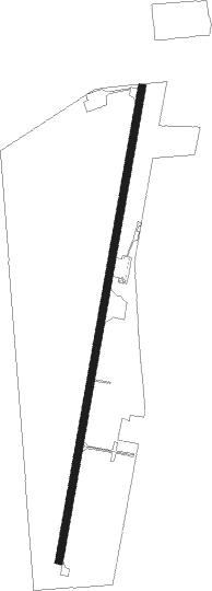
Cave Junction - Illinois Valley
Airport details
| Country | United States of America |
| State | Oregon |
| Region | K1 |
| Airspace | Seattle Ctr |
| Municipality | Josephine County |
| Elevation | 1394ft (425m) |
| Timezone | GMT -8 |
| Coordinates | 42.10360, -123.68242 |
| Magnetic var | |
| Type | land |
| Available since | X-Plane v10.40 |
| ICAO code | 3S4 |
| IATA code | n/a |
| FAA code | 3S4 |
Communication
| Illinois Valley CTAF/UNICOM | 122.900 |
Nearby Points of Interest:
Illinois Valley Airport
-Osgood Ditch
-Cedar Guard Station
-Oregon Caves Historic District
-Mount Emily
-Gasquet Ranger Station Historic District
-Grants Pass Supervisor's Warehouse
-Old Grants Pass City Hall
-John and Susanna Ahlf House
-Squaw Peak Lookout
Nearby beacons
| code | identifier | dist | bearing | frequency |
|---|---|---|---|---|
| CEC | CRESCENT CITY VORTAC | 31.6 | 240° | 109 |
| MEF | MEDFORD NDB | 39.6 | 70° | 356 |
| OED | ROGUE VALLEY (MEDFORD) VORTAC | 40.9 | 64° | 113.60 |
| FJS | FORT JONES VOR/DME | 55.5 | 127° | 109.60 |
Disclaimer
The information on this website is not for real aviation. Use this data with the X-Plane flight simulator only! Data taken with kind consent from X-Plane 12 source code and data files. Content is subject to change without notice.