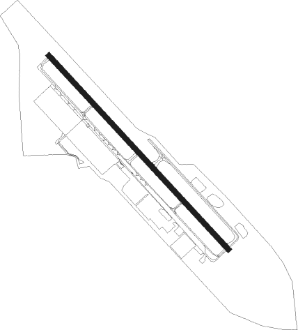
Grants Pass
Airport details
| Country | United States of America |
| State | Oregon |
| Region | K1 |
| Airspace | Seattle Ctr |
| Municipality | Josephine County |
| Elevation | 1125ft (343m) |
| Timezone | GMT -8 |
| Coordinates | 42.50636, -123.38248 |
| Magnetic var | |
| Type | land |
| Available since | X-Plane v10.40 |
| ICAO code | 3S8 |
| IATA code | n/a |
| FAA code | 3S8 |
Communication
| Grants Pass CTAF/UNICOM | 122.800 |
| Grants Pass CASCADE Approach/Departure | 124.300 |
Nearby beacons
| code | identifier | dist | bearing | frequency |
|---|---|---|---|---|
| OED | ROGUE VALLEY (MEDFORD) VORTAC | 20.8 | 93° | 113.60 |
| MEF | MEDFORD NDB | 23.3 | 103° | 356 |
| RBG | ROSEBURG VOR/DME | 40.6 | 3° | 108.20 |
| CEC | CRESCENT CITY VORTAC | 58 | 230° | 109 |
| MOG | MONTAGUE NDB | 61.6 | 131° | 404 |
| OTH | NORTH BEND VOR/DME | 64.6 | 319° | 112.10 |
| OT | EMIRE (NORTH BEND) NDB | 67.1 | 314° | 378 |
Instrument approach procedures
| runway | airway (heading) | route (dist, bearing) |
|---|---|---|
| RW13 | CAMAS (155°) | CAMAS PUYNO (12mi, 160°) 6500ft HISIG (4mi, 153°) 5200ft |
| RNAV | HISIG 5200ft JITRI (4mi, 153°) 4600ft ZIGIK (3mi, 153°) 4400ft YEYUD (3mi, 153°) 3280ft WAMEP (1mi, 153°) 2860ft UVBOH (2mi, 153°) 2100ft ISNEJ (2mi, 153°) 1315ft (6843mi, 109°) 2000ft WIROG (6856mi, 289°) ZUNPA (10mi, 185°) CEXUN (10mi, 243°) 8000ft CEXUN (turn) | |
| RWNVA | KOLER (199°) | KOLER WALVI (13mi, 245°) 6200ft WALVI (turn) 5700ft |
| RNAV | WALVI 5700ft KUSHI (5mi, 133°) 4700ft 3S8 (6mi, 132°) 1135ft (6842mi, 109°) 3200ft WALVI (6845mi, 289°) 6600ft WALVI (turn) |
Disclaimer
The information on this website is not for real aviation. Use this data with the X-Plane flight simulator only! Data taken with kind consent from X-Plane 12 source code and data files. Content is subject to change without notice.
