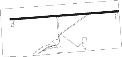
Condon - Condon State - Pauling Field
Airport details
| Country | United States of America |
| State | Oregon |
| Region | K1 |
| Airspace | Seattle Ctr |
| Municipality | Gilliam County |
| Elevation | 2911ft (887m) |
| Timezone | GMT -8 |
| Coordinates | 45.24657, -120.16645 |
| Magnetic var | |
| Type | land |
| Available since | X-Plane v10.40 |
| ICAO code | 3S9 |
| IATA code | n/a |
| FAA code | n/a |
Communication
| Condon State - Pauling Field CTAF | 122.900 |
Nearby Points of Interest:
Silas A. Rice Log House
-S. B. Barker Building
-Fossil Public School
-Thomas Benton Hoover House
-Hardman IOOF Lodge Hall
-Sherman County Courthouse
-Gilliam and Bisbee Building
-Morrow County Courthouse
-DeMoss Springs Park
-John and Helen Moore House
Nearby beacons
| code | identifier | dist | bearing | frequency |
|---|---|---|---|---|
| IMB | KIMBERLY VOR/DME | 40.7 | 143° | 115.60 |
| LTJ | KLICKITAT (THE DALLES) VOR/DME | 48.3 | 297° | 112.30 |
Disclaimer
The information on this website is not for real aviation. Use this data with the X-Plane flight simulator only! Data taken with kind consent from X-Plane 12 source code and data files. Content is subject to change without notice.