Yellow Pine - Johnson Creek
Airport details
| Country | United States of America |
| State | Idaho |
| Region | |
| Airspace | Salt Lake City Ctr |
| Municipality | Valley County |
| Elevation | 4933ft (1504m) |
| Timezone | GMT -7 |
| Coordinates | 44.91632, -115.48419 |
| Magnetic var | |
| Type | land |
| Available since | X-Plane v10.40 |
| ICAO code | 3U2 |
| IATA code | n/a |
| FAA code | 3U2 |
Communication
Nearby Points of Interest:
Matt Ruatsale Homestead
-Elo School
-John Korvola Homestead
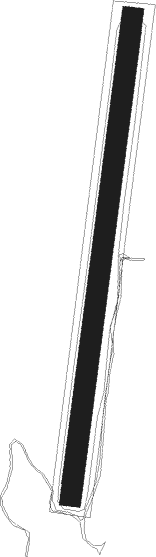
Runway info
| Runway 17 / 35 | ||
| length | 1060m (3478ft) | |
| bearing | 196° / 16° | |
| width | 46m (150ft) | |
| surface | grass | |
Nearby beacons
| code | identifier | dist | bearing | frequency |
|---|---|---|---|---|
| DNJ | DONNELLY (MC CALL) VOR/DME | 32 | 258° | 116.20 |
Disclaimer
The information on this website is not for real aviation. Use this data with the X-Plane flight simulator only! Data taken with kind consent from X-Plane 12 source code and data files. Content is subject to change without notice.