Winterset - Winterset Muni
Airport details
| Country | United States of America |
| State | Iowa |
| Region | K3 |
| Airspace | Minneapolis Ctr |
| Municipality | Winterset |
| Elevation | 1106ft (337m) |
| Timezone | GMT -6 |
| Coordinates | 41.36280, -94.02119 |
| Magnetic var | |
| Type | land |
| Available since | X-Plane v10.40 |
| ICAO code | 3Y3 |
| IATA code | n/a |
| FAA code | n/a |
Communication
| Winterset Muni CTAF/UNICOM | 122.700 |
| Winterset Muni DES MOINES Approach/Departure | 135.200 |
Nearby Points of Interest:
Emily Hornback House
-Henry C. Wallace House
-W.J. and Nettie J. Cornell House
-White, Munger and Company Store
-Miller Richard and Mary Fisher Tidrick House
-Madison County Courthouse
-Guiberson House
-William R. and Martha Foster Shriver House
-C.D. Bevington House and Stone Barn
-C.D. and Eliza Heath Bevington Privy
-North River Stone Schoolhouse
-Earlham Public School
-Robert William Andrew Feller Farmstead
-Dexter Community House
-Adel Bridge
-Dallas County Courthouse
-Chicago, Rock Island and Pacific Railroad: Stuart Passenger Station
-Masonic Temple Building
-Polled Hereford Breed Origin Site
-Catalpa
-Mahaska County Courthouse
-Wallace Hall
-Valley Junction-West Des Moines City Hall and Engine House
-I.O.O.F. Valley Junction Lodge Hall No. 604
-Valley Junction Commercial Historic District
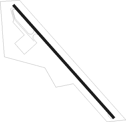
Runway info
| Runway 14 / 32 | ||
| length | 916m (3005ft) | |
| bearing | 135° / 315° | |
| width | 15m (50ft) | |
| surface | concrete | |
| displ threshold | 53m (174ft) / 0m (0ft) | |
Nearby beacons
| code | identifier | dist | bearing | frequency |
|---|---|---|---|---|
| DSM | DES MOINES VORTAC | 17.3 | 79° | 117.50 |
| EFW | JEFFERSON NDB | 41.6 | 334° | 391 |
| LMN | LAMONI VOR/DME | 46 | 176° | 116.70 |
| TNU | NEWTON VOR/DME | 48.1 | 65° | 112.50 |
Instrument approach procedures
| runway | airway (heading) | route (dist, bearing) |
|---|---|---|
| RW14 | ZIKUP (135°) | ZIKUP 3000ft |
| RNAV | ZIKUP 3000ft JOLUX (6mi, 135°) 2700ft 3Y3 (5mi, 135°) 1155ft (5586mi, 114°) 1516ft JUNUG (5581mi, 294°) 3000ft JUNUG (turn) | |
| RW32 | JUNUG (315°) | JUNUG 3000ft |
| RNAV | JUNUG 3000ft HUDOX (5mi, 315°) 2700ft 3Y3 (5mi, 315°) 1134ft (5586mi, 114°) 1516ft ZIKUP (5593mi, 294°) 3000ft ZIKUP (turn) |
Disclaimer
The information on this website is not for real aviation. Use this data with the X-Plane flight simulator only! Data taken with kind consent from X-Plane 12 source code and data files. Content is subject to change without notice.