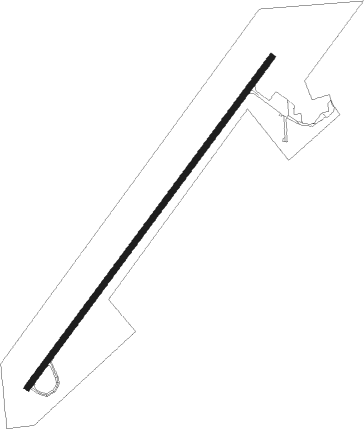
Mount Pleasant
Airport details
| Country | United States of America |
| State | Utah |
| Region | K2 |
| Airspace | Salt Lake City Ctr |
| Municipality | Mount Pleasant |
| Elevation | 5829ft (1777m) |
| Timezone | GMT -7 |
| Coordinates | 39.52654, -111.47609 |
| Magnetic var | |
| Type | land |
| Available since | X-Plane v10.40 |
| ICAO code | 43U |
| IATA code | n/a |
| FAA code | n/a |
Communication
| Mount Pleasant CTAF | 122.900 |
Nearby Points of Interest:
John H. Seely House
-Morten Rasmussen House
-W.D. Candland House
-Mount Pleasant Carnegie Library
-Mount Pleasant National Guard Armory
-Mount Pleasant High School Mechanical Arts Building
-James B. Staker House
-Spring City
-Spring City School
-Mortensen-Nelson House
-Moroni High School Mechanical Arts Building
-Moroni Opera House
-Fairview City Hall
-Fairview Amusement Hall
-Fountain Green Hydroelectric Plant Historic District
-Ephraim Carnegie Library
-Johnson-Nielson House
-Canute Peterson House
-Noyes Building
-John Dorius Jr. House
-Ephraim United Order Cooperative Building
-Fredrick Christian Sorensen House
-Greaves-Deakin House
-Robert Johnson House
-Ezra and Abigail Shomaker House
Nearby beacons
| code | identifier | dist | bearing | frequency |
|---|---|---|---|---|
| PUC | CARBON (PRICE) VOR/DME | 33.7 | 84° | 115.50 |
| PVU | PROVO VOR/DME | 42.8 | 340° | 108.40 |
| FFU | FAIRFIELD (PROVO) VORTAC | 49.7 | 328° | 116.60 |
Disclaimer
The information on this website is not for real aviation. Use this data with the X-Plane flight simulator only! Data taken with kind consent from X-Plane 12 source code and data files. Content is subject to change without notice.