Kountze - Hawthorne Fld
Airport details
| Country | United States of America |
| State | Texas |
| Region | K4 |
| Airspace | Houston Oceanic Ctr |
| Municipality | Hardin County |
| Elevation | 68ft (21m) |
| Timezone | GMT -6 |
| Coordinates | 30.33633, -94.25755 |
| Magnetic var | |
| Type | land |
| Available since | X-Plane v10.40 |
| ICAO code | 45R |
| IATA code | n/a |
| FAA code | n/a |
Communication
| Hawthorne Fld CTAF/UNICOM | 122.800 |
| Hawthorne Fld BEAUMONT Approach/Departure | 121.300 |
Nearby Points of Interest:
Kirby-Hill House
-Woman's Club of Beaumont Clubhouse
-Jack Brooks Federal Building
-Edson Hotel
-Beaumont Commercial District
-Saint Anthony Cathedral Basilica
-Idle Hours
-Spindletop
-Tyler County Courthouse
-US 190 Bridge at the Neches River
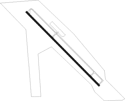
Runway info
| Runway 13 / 31 | ||
| length | 1313m (4308ft) | |
| bearing | 136° / 316° | |
| width | 23m (75ft) | |
| surface | asphalt | |
Nearby beacons
| code | identifier | dist | bearing | frequency |
|---|---|---|---|---|
| GDE | GOODHUE (BEAUMONT) NDB | 16.1 | 170° | 368 |
| DAS | DAISETTA VORTAC | 21.9 | 249° | 116.90 |
| BPT | BEAUMONT VOR/DME | 26.5 | 148° | 114.50 |
| SBI | SABINE PASS VOR/DME | 40.6 | 161° | 115.40 |
| AUR | SULFY (SULPHUR) NDB | 44.1 | 99° | 278 |
| BVP | NIXIN (HOUSTON) NDB | 53.8 | 250° | 326 |
| DXB | DE RIDDER NDB | 53.8 | 66° | 385 |
| MHF | TRINITY (SMITH POINT) VOR/DME | 53.8 | 212° | 113.60 |
| LFK | LUFKIN VORTAC | 54.9 | 331° | 112.10 |
| LF | FLUFY (LUFKIN) NDB | 60.5 | 327° | 350 |
| EFD | ELLINGTON (HOUSTON) TACAN | 64.2 | 231° | 109.40 |
Instrument approach procedures
| runway | airway (heading) | route (dist, bearing) |
|---|---|---|
| RW13 | FERVU (104°) | FERVU NOSUE (9mi, 54°) 3100ft |
| RW13 | ZIVER (173°) | ZIVER NOSUE (9mi, 234°) 3100ft |
| RNAV | NOSUE 3100ft HAREV (7mi, 136°) 2000ft 45R (6mi, 136°) 119ft (5626mi, 108°) 471ft JOBMO (5618mi, 288°) 2000ft JOBMO (turn) |
Disclaimer
The information on this website is not for real aviation. Use this data with the X-Plane flight simulator only! Data taken with kind consent from X-Plane 12 source code and data files. Content is subject to change without notice.