Carrington - Carrington Muni
Airport details
| Country | United States of America |
| State | North Dakota |
| Region | K3 |
| Airspace | Minneapolis Ctr |
| Municipality | Carrington |
| Elevation | 1604ft (489m) |
| Timezone | GMT -6 |
| Coordinates | 47.45111, -99.15134 |
| Magnetic var | |
| Type | land |
| Available since | X-Plane v10.40 |
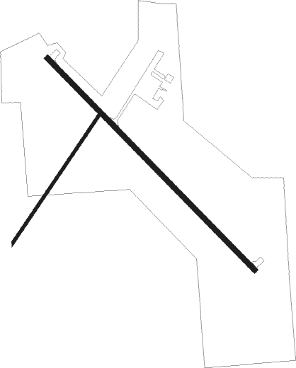
| ICAO code | 46D |
| IATA code | n/a |
| FAA code | n/a |
Communication
| Carrington Muni CTAF | 122.900 |
Nearby Points of Interest:
Foster County Courthouse
-Carrington Post Office
-Thomas Nichols Putnam House
-Eddy County Courthouse
-Wells County Courthouse

Nearby beacons
| code | identifier | dist | bearing | frequency |
|---|---|---|---|---|
| JMS | JAMESTOWN VOR/DME | 36.6 | 138° | 114.50 |
| DVL | DEVILS LAKE VOR/DME | 41 | 20° | 114.75 |
Instrument approach procedures
| runway | airway (heading) | route (dist, bearing) |
|---|---|---|
| RW31 | CECYA (309°) | CECYA 3200ft |
| RNAV | CECYA 3200ft ORUTE (7mi, 309°) 3100ft 46D (5mi, 309°) 1646ft (5776mi, 116°) 2300ft CECYA (5769mi, 296°) 3200ft CECYA (turn) |
Disclaimer
The information on this website is not for real aviation. Use this data with the X-Plane flight simulator only! Data taken with kind consent from X-Plane 12 source code and data files. Content is subject to change without notice.