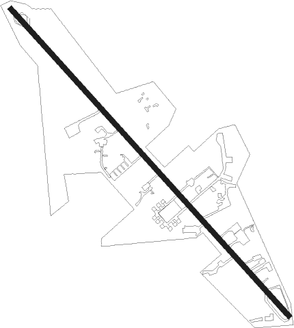
Alpine
Airport details
| Country | United States of America |
| State | Wyoming |
| Region | K1 |
| Airspace | Salt Lake City Ctr |
| Municipality | Lincoln County |
| Elevation | 5630ft (1716m) |
| Timezone | GMT -7 |
| Coordinates | 43.18177, -111.03853 |
| Magnetic var | |
| Type | land |
| Available since | X-Plane v10.32 |
| ICAO code | 46U |
| IATA code | n/a |
| FAA code | n/a |
Communication
| Alpine CTAF | 122.900 |
Nearby Points of Interest:
Miller Cabin
-Victor Railroad Depot
-Upper Granite Canyon Patrol Cabin
Nearby beacons
| code | identifier | dist | bearing | frequency |
|---|---|---|---|---|
| JAC | JACKSON VOR/DME | 29.5 | 35° | 115.40 |
| DNW | DUNOIR VOR/DME | 49.4 | 47° | 117.20 |
| BPI | BIG PINEY VOR/DME | 54.5 | 123° | 116.50 |
Instrument approach procedures
| runway | airway (heading) | route (dist, bearing) |
|---|---|---|
| RW13-M | HIROB (133°) | HIROB 11500ft |
| RW13-M | IDA (108°) | IDA OMROE (28mi, 99°) 12000ft HIROB (7mi, 99°) 11500ft |
| RW13-M | WIDIM (61°) | WIDIM HIROB (42mi, 39°) 12000ft HIROB (turn) 11500ft |
| RW13-M | ZARKI (174°) | ZARKI HIROB (33mi, 195°) 12000ft HIROB (turn) 11500ft |
| RNAV | HIROB 11500ft JARMU (6mi, 136°) 9800ft FOSVA (2mi, 136°) 9200ft WOVBO (4mi, 130°) 7540ft 46U (5mi, 131°) 5669ft (6317mi, 111°) 6037ft POMKE (6320mi, 291°) 12500ft POMKE (turn) 12500ft | |
| RW13-N | HIROB (133°) | HIROB 11500ft |
| RW13-N | IDA (108°) | IDA OMROE (28mi, 99°) 12000ft HIROB (7mi, 99°) 11500ft |
| RW13-N | WIDIM (61°) | WIDIM HIROB (42mi, 39°) 12000ft HIROB (turn) 11500ft |
| RW13-N | ZARKI (174°) | ZARKI HIROB (33mi, 195°) 12000ft HIROB (turn) 11500ft |
| RNAV | HIROB 11500ft JARMU (6mi, 136°) 9800ft FOSVA (2mi, 136°) 9200ft WOVBO (4mi, 130°) 7540ft SUTOE (turn) 7040ft 46U (4mi, 131°) 5669ft (6317mi, 111°) 6037ft POMKE (6320mi, 291°) 12500ft POMKE (turn) 12500ft | |
| RWNVA | BPI (303°) | BPI LOWED (38mi, 289°) 13400ft HEPUR (7mi, 289°) 12100ft |
| RWNVA | WIDIM (61°) | WIDIM MULTE (28mi, 81°) 12100ft HEPUR (5mi, 81°) 12100ft |
| RWNVA | ZARKI (174°) | ZARKI HIROB (33mi, 195°) 12100ft HEPUR (31mi, 154°) 12100ft HEPUR (turn) 11400ft |
| RNAV | HEPUR 12100ft FIVIP (8mi, 358°) 9000ft CEPDO (7mi, 359°) 8420ft (6317mi, 111°) 8420ft RABKE (6327mi, 291°) 11500ft RABKE (turn) |
Disclaimer
The information on this website is not for real aviation. Use this data with the X-Plane flight simulator only! Data taken with kind consent from X-Plane 12 source code and data files. Content is subject to change without notice.
