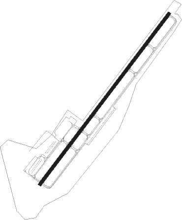
Ball Ground - Cherokee County Regl
Airport details
| Country | United States of America |
| State | Georgia |
| Region | K7 |
| Airspace | Atlanta Ctr |
| Municipality | Cherokee County |
| Elevation | 1219ft (372m) |
| Timezone | GMT -5 |
| Coordinates | 34.31222, -84.42216 |
| Magnetic var | |
| Type | land |
| Available since | X-Plane v10.40 |
| ICAO code | 47A |
| IATA code | n/a |
| FAA code | n/a |
Communication
| Cherokee County Regl AWOS 3 | 119.825 |
| Cherokee County Regl CTAF/UNICOM | 123.000 |
| Cherokee County Regl ATLANTA Approach/Departure | 121.000 |
Nearby Points of Interest:
Ball Ground Historic District
-Cagle House
-Cherokee County Courthouse
-Crescent Farm
-Georgia Marble Company and Tate Historic District
-Tate House
-Tate Gymnasium
-Griffeth-Pendley House
-Pickens County Courthouse
-Boyd and Sallie Gilleland House
-Corra White Harris House, Study, and Chapel
-Roswell Historic District
-Isaac Roberts House
-Newtown Elementary School
-Island Ford Lodge
-Old Bartow County Courthouse
-Bartow County Courthouse
-Roselawn Museum
-Cassville Post Office
-Etowah Indian Mounds
-Gilmer County Courthouse
-Donaldson-Bannister House and Cemetery
-Superb
-John Quincy Allen House
-Calhoun Mine
Nearby beacons
| code | identifier | dist | bearing | frequency |
|---|---|---|---|---|
| DJD | CHERO NDB | 4.8 | 228° | 415 |
| DOB | DOBBINS (MARIETTA) TACAN | 24.2 | 192° | 113 |
| FKV | FLOWERY BRANCH (GAINESVILLE) NDB | 26.4 | 102° | 365 |
| PDK | PEACHTREE (ATLANTA) VOR/DME | 26.9 | 164° | 116.60 |
| TX | GWNET (LAWRENCEVILLE) NDB | 32.8 | 118° | 419 |
| RMG | ROME VORTAC | 35.7 | 258° | 115.40 |
| AT | CATTA (ATLANTA) NDB | 40.4 | 190° | 375 |
| ATL | ATLANTA VORTAC | 41 | 181° | 116.90 |
| HRS | HARRIS VORTAC | 45.4 | 39° | 109.80 |
| BMW | BARROW COUNTY (WINDER) NDB | 47.1 | 114° | 404 |
| VOF | ALCOVY (COVINGTON) NDB | 51.9 | 137° | 370 |
| GQO | CHOO CHOO (CHATTANOOGA) VORTAC | 53.1 | 312° | 115.80 |
| GPQ | CARROLLTON NDB | 57 | 224° | 278 |
| CQN | DAISY (N.CHATTANOOGA) NDB | 62.8 | 319° | 341 |
Disclaimer
The information on this website is not for real aviation. Use this data with the X-Plane flight simulator only! Data taken with kind consent from X-Plane 12 source code and data files. Content is subject to change without notice.