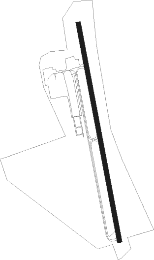
South Bethlehem - South Albany
Airport details
| Country | United States of America |
| State | New York |
| Region | |
| Airspace | Boston Ctr |
| Municipality | Town of Bethlehem |
| Elevation | 194ft (59m) |
| Timezone | GMT -5 |
| Coordinates | 42.55684, -73.83337 |
| Magnetic var | |
| Type | land |
| Available since | X-Plane v10.40 |
| ICAO code | 4B0 |
| IATA code | n/a |
| FAA code | 4B0 |
Communication
| South Albany CTAF | 122.900 |
Nearby Points of Interest:
Bethlehem House
-Mull House and Cemetery
-United States Post Office
-Slingerlands Historic District
-Sunderland Center Historic District
-Ariaanje Coeymans House
-Abraham Houghtaling House
-Schodack Landing Historic District
-Elmbrook Farm
-Hook and Ladder No. 4
-District School No. 7
-Blink Bonnie
-Israel Shear House
-South End–Groesbeckville Historic District
-A. Mendelson and Son Company Building
-Aiken House
-W. P. Irwin Bank Building
-Knox Street Historic District
-Center Square/Hudson–Park Historic District
-District School No. 3
-48 Hudson Avenue
-First Trust Company Building
-James T. Foley United States Courthouse
-Alcove Historic District
-New York State Education Building
Nearby beacons
| code | identifier | dist | bearing | frequency |
|---|---|---|---|---|
| ALB | ALBANY VORTAC | 11.5 | 9° | 115.30 |
| AL | HAWKY (ALBANY) NDB | 15.6 | 5° | 219 |
| HEU | HUNTER (SCHENECTADY) NDB | 18.3 | 341° | 356 |
| PFH | PHILMONT (HUDSON) NDB | 18.8 | 160° | 272 |
| CAM | CAMBRIDGE VOR/DME | 33.9 | 48° | 115 |
| JJH | JOHNSTOWN NDB | 34.4 | 312° | 523 |
| CTR | CHESTER VOR/DME | 42.3 | 107° | 115.10 |
| GF | GANSE (GLENS FALLS) NDB | 43.1 | 18° | 209 |
| PWL | PAWLING (POUGHKEEPSIE) VOR/DME | 48.3 | 164° | 114.30 |
| IGN | KINGSTON VOR/DME | 53.5 | 179° | 117.60 |
| RUT | DME | 69.9 | 42° | 111 |
Instrument approach procedures
| runway | airway (heading) | route (dist, bearing) |
|---|---|---|
| RW01 | CTR (287°) | CTR CABTO (33mi, 275°) 4000ft BAVME (5mi, 265°) 3000ft |
| RW01 | OAKIL (79°) | OAKIL ELAKE (14mi, 101°) 5000ft DAMKE (10mi, 101°) 4000ft BAVME (5mi, 85°) 3000ft |
| RNAV | BAVME 3000ft AKAVE (8mi, 352°) 1800ft 4B0 (5mi, 352°) 226ft (4694mi, 120°) 596ft TURES (4705mi, 300°) 3500ft TURES (turn) | |
| RW19 | AGNEZ (47°) | AGNEZ EGENE (10mi, 24°) 5500ft CABAK (21mi, 24°) 3400ft BASKE (5mi, 85°) 2600ft |
| RW19 | STELA (292°) | STELA FALOX (20mi, 308°) 5000ft DALSE (18mi, 307°) 3400ft BASKE (5mi, 265°) 2600ft |
| RNAV | BASKE 2600ft ADOLE (5mi, 172°) 1800ft 4B0 (5mi, 172°) 235ft (4694mi, 120°) 600ft BAVME (4691mi, 300°) 3000ft BAVME (turn) |
Disclaimer
The information on this website is not for real aviation. Use this data with the X-Plane flight simulator only! Data taken with kind consent from X-Plane 12 source code and data files. Content is subject to change without notice.