Simsbury
Airport details
| Country | United States of America |
| State | Connecticut |
| Region | |
| Airspace | Boston Ctr |
| Municipality | Simsbury |
| Elevation | 193ft (59m) |
| Timezone | GMT -5 |
| Coordinates | 41.91317, -72.77799 |
| Magnetic var | |
| Type | land |
| Available since | X-Plane v10.40 |
| ICAO code | 4B9 |
| IATA code | n/a |
| FAA code | 4B9 |
Communication
Nearby Points of Interest:
McLean Game Refuge
-Whitfield Cowles House
-Ezekiel Phelps House
-Capt. Elisha Phelps House
-Simsbury Bank and Trust Company Building
-Simsbury station
-Amos Eno House
-Samuel Hayes II House
-Nathaniel Holcomb III House
-Robert and Julia Darling House
-Simsbury Townhouse
-John Humphrey House
-Viets' Tavern
-Benomi Case House
-Lewis-Zukowski House
-Judah Holcomb House
-Oliver Filley House
-Eli Phelps House
-Frederick H. Cossitt Library
-Allen's Cider Mill
-Beardsley-Mix House
-Francis Gillette House
-Connecticut General Life Insurance Company Headquarters
-Noden-Reed Museum
-William Shelton House
Runway info
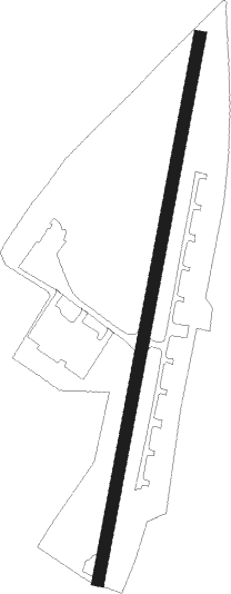
| Runway 3 / 21 | ||
| length | 672m (2205ft) | |
| bearing | 20° / 200° | |
| width | 15m (50ft) | |
| surface | asphalt | |
| displ threshold | 0m (0ft) / 83m (272ft) | |
Nearby beacons
| code | identifier | dist | bearing | frequency |
|---|---|---|---|---|
| BAF | BARNES (WESTFIELD/SPRINGF VORTAC | 15.1 | 14° | 113 |
| HFD | HARTFORD VOR/DME | 19.3 | 140° | 114.90 |
| CEF | WESTOVER(SPRINGFIELD/CHIC TACAN | 20.4 | 42° | 114 |
| CTR | CHESTER VOR/DME | 23.9 | 336° | 115.10 |
| MAD | MADISON VOR/DME | 36.1 | 172° | 110.40 |
| PWL | PAWLING (POUGHKEEPSIE) VOR/DME | 37.7 | 260° | 114.30 |
| HVN | HAVEN DME | 39.3 | 189° | 109.80 |
| ORW | NORWICH VOR/DME | 40.9 | 115° | 110 |
| PUT | PUTNAM VOR/DME | 41.8 | 87° | 117.40 |
| PFH | PHILMONT (HUDSON) NDB | 46.8 | 290° | 272 |
| BDR | BRIDGEPORT VOR/DME | 47.8 | 205° | 108.80 |
| GON | GROTON VOR/DME | 47.8 | 129° | 110.85 |
| GDM | GARDNER VOR/DME | 49.6 | 49° | 110.60 |
| CMK | CARMEL VOR/DME | 52.4 | 232° | 116.60 |
| EEN | DME | 57.1 | 29° | 109.40 |
| CCC | CALVERTON VOR/DME | 59 | 181° | 117.20 |
| HTO | HAMPTON (EAST HAMPTON) VORTAC | 63.2 | 155° | 113.60 |
Disclaimer
The information on this website is not for real aviation. Use this data with the X-Plane flight simulator only! Data taken with kind consent from X-Plane 12 source code and data files. Content is subject to change without notice.