Milford - Fuller
Airport details
| Country | United States of America |
| State | Iowa |
| Region | |
| Airspace | Minneapolis Ctr |
| Municipality | Milford |
| Elevation | 1437ft (438m) |
| Timezone | GMT -6 |
| Coordinates | 43.33478, -95.16335 |
| Magnetic var | |
| Type | land |
| Available since | X-Plane v10.40 |
| ICAO code | 4D8 |
| IATA code | n/a |
| FAA code | 4D8 |
Communication
Nearby Points of Interest:
Spirit Lake Massacre Log Cabin
-Gerome Clark House
-Dickinson County Courthouse
-Spirit Lake Public Library
-Clay County Courthouse
-Jackson County Courthouse
-Logan Center School No.5
-O'Brien County Courthouse
-Emmetsburg Public Library
-Osceola County Courthouse
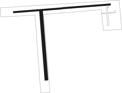
Runway info
Runway 9 / 27  | ||
| length | 876m (2874ft) | |
| bearing | 90° / 270° | |
| width | 15m (50ft) | |
| surface | asphalt | |
| displ threshold | 18m (59ft) / 110m (361ft) | |
| Runway 18 / 36 | ||
| length | 607m (1991ft) | |
| bearing | 180° / 0° | |
| width | 30m (100ft) | |
| surface | grass | |
| displ threshold | 0m (0ft) / 122m (400ft) | |
Nearby beacons
| code | identifier | dist | bearing | frequency |
|---|---|---|---|---|
| SP | SNORE (SPENCER) NDB | 9.4 | 239° | 394 |
| SPW | SPENCER VOR/DME | 10.4 | 192° | 110 |
| OT | WONDD (WORTHINGTON) NDB | 21.4 | 313° | 277 |
| EGQ | EMMETSBURG NDB | 24.3 | 117° | 410 |
| OTG | WORTHINGTON VOR/DME | 26.1 | 307° | 110.60 |
| FRM | DME | 37.2 | 67° | 110.20 |
| FNX | DME | 37.4 | 68° | 114.25 |
| FQ | MONTZ (FAIRMONT) NDB | 39.5 | 74° | 420 |
| FOD | FORT DODGE VORTAC | 57.8 | 130° | 113.50 |
| FO | BARRO (FORT DODGE) NDB | 62 | 134° | 341 |
Instrument approach procedures
| runway | airway (heading) | route (dist, bearing) |
|---|---|---|
| RWNVB | SPW (12°) | SPW 6000ft SPW (turn) 3000ft |
| RNAV | SPW 3000ft ASUBE (6mi, 14°) 3000ft MABBY (4mi, 14°) 2100ft (5630mi, 114°) 2100ft SPW (5633mi, 294°) 3000ft SPW (turn) |
Disclaimer
The information on this website is not for real aviation. Use this data with the X-Plane flight simulator only! Data taken with kind consent from X-Plane 12 source code and data files. Content is subject to change without notice.