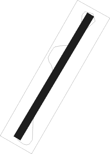
Calpine - Totem Pole Ranch
Airport details
| Country | United States of America |
| State | California |
| Region | |
| Airspace | Oakland Ctr |
| Municipality | Sierra County |
| Elevation | 4984ft (1519m) |
| Timezone | GMT -8 |
| Coordinates | 39.65048, -120.44133 |
| Magnetic var | |
| Type | land |
| Available since | X-Plane v10.40 |
| ICAO code | 4Q7 |
| IATA code | n/a |
| FAA code | CA38 |
Communication
Nearby Points of Interest:
Sierraville School
-Beckwourth Pass
-Hospital Bridge
-1872 California-Nevada State Boundary Marker
-Donner Memorial State Park
-Commercial Row-Brickelltown Historic District
-Kruger House
-California Building
-Pearl Upson House
-Alpha Tau Omega Fraternity House (Reno, Nevada)
-Twaddle Mansion
-Humphrey House (Reno, Nevada)
-Borland-Clifford House
-Nystrom Guest House
-Bethel AME Church
-Francovich House
-Miller-Rowe-Holgate House
-J. Clarence Kind House
-Francis G. Newlands Home
-University of Nevada Reno Historic District
-Lear Theatre
-Hawkins House
-Luella Garvey House
-Joseph H. Gray House
-20th Century Club
Nearby beacons
| code | identifier | dist | bearing | frequency |
|---|---|---|---|---|
| SWR | SQUAW VALLEY(SOUTH LAKE T VOR/DME | 29.3 | 160° | 113.20 |
| FMG | MUSTANG (RENO) VORTAC | 37 | 99° | 117.90 |
| AHC | AMEDEE (HERLONG) VOR/DME | 39.3 | 25° | 109 |
| BAB | BEALE (MARYSVILLE) TACAN | 55.7 | 243° | 108.60 |
| HNW | HANGTOWN (PLACERVILLE) VOR/DME | 57.4 | 198° | 115.50 |
| MCC | MC CLELLAN (SACRAMENTO) VOR/DME | 74.1 | 224° | 109.20 |
Disclaimer
The information on this website is not for real aviation. Use this data with the X-Plane flight simulator only! Data taken with kind consent from X-Plane 12 source code and data files. Content is subject to change without notice.
