Wessington Springs
Airport details
| Country | United States of America |
| State | South Dakota |
| Region | K3 |
| Airspace | Minneapolis Ctr |
| Municipality | Jerauld County |
| Elevation | 1543ft (470m) |
| Timezone | GMT -6 |
| Coordinates | 44.06189, -98.53219 |
| Magnetic var | |
| Type | land |
| Available since | X-Plane v10.40 |
| ICAO code | 4X4 |
| IATA code | n/a |
| FAA code | n/a |
Communication
Nearby Points of Interest:
Jerauld County Courthouse
-Methodist Episcopal Church of Wessington Springs
-Robert S. Vessey House
-Underwood United Methodist Church
-Aurora County Courthouse
-Raesly House
-Hilton House (White Lake, South Dakota)
-Hofmeister House
-Hattie O. and Henry Drake Octagon House
-Grace Episcopal Church
-Pyle House
-Chicago and North Western Roundhouse
-Holy Trinity Church
-William P. Smith House (Stickney, South Dakota)
-Lincoln House (Stickney, South Dakota)
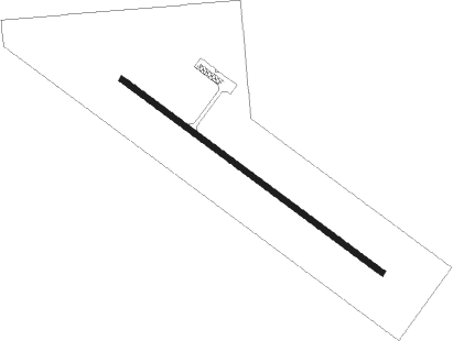
Runway info
| Runway 12 / 30 | ||
| length | 1099m (3606ft) | |
| bearing | 122° / 302° | |
| width | 18m (60ft) | |
| surface | asphalt | |
Nearby beacons
| code | identifier | dist | bearing | frequency |
|---|---|---|---|---|
| HO | BEADY (HURON) NDB | 24.4 | 27° | 302 |
| HON | DME | 24.6 | 30° | 117.60 |
| MHE | MITCHELL VOR/DME | 27.3 | 120° | 109.20 |
| AGZ | WAGNER NDB | 60.8 | 167° | 392 |
Instrument approach procedures
| runway | airway (heading) | route (dist, bearing) |
|---|---|---|
| RW12 | YUBUV (122°) | YUBUV 4000ft |
| RNAV | YUBUV 4000ft UYEVE (6mi, 122°) 3200ft IHGEJ (2mi, 122°) 2580ft 4X4 (3mi, 122°) 1584ft (5773mi, 114°) 1945ft ZIGRU (5765mi, 294°) 4000ft ZIGRU (turn) | |
| RW30 | ZIGRU (302°) | ZIGRU 4000ft |
| RNAV | ZIGRU 4000ft ZAMIB (6mi, 302°) 3200ft 4X4 (5mi, 302°) 1569ft (5773mi, 114°) 1880ft YUBUV (5780mi, 294°) 4000ft YUBUV (turn) |
Disclaimer
The information on this website is not for real aviation. Use this data with the X-Plane flight simulator only! Data taken with kind consent from X-Plane 12 source code and data files. Content is subject to change without notice.