Dragey-ronthon - Dragey
Airport details
| Country | France |
| State | Normandy |
| Region | LF |
| Airspace | Brest Ctr |
| Municipality | Dragey-Ronthon |
| Elevation | 145ft (44m) |
| Timezone | GMT +1 |
| Coordinates | 48.70431, -1.49534 |
| Magnetic var | |
| Type | land |
| Available since | X-Plane v10.40 |
| ICAO code | 5021 |
| IATA code | n/a |
| FAA code | n/a |
Communication
| Dragey DRAGEY CTAF | 123.500 |
Nearby Points of Interest:
Prieuré de Saint-Léonard
-Vieux logis
-Maison du Pot de cuivre
-Fontaine Saint-Aubert (Le Mont-Saint-Michel)
-Villa Bellevue (Le Mont-Saint-Michel)
-Maison et jardin du chapeau blanc
-auberge saint pierre
-Mont-Saint-Michel Abbey
-Mont-Saint-Michel and its Bay
-Ancien presbytère (Le Mont-Saint-Michel)
-Ramparts of Mont Saint-Michel
-Enceinte des Fanils
-Ancien hôtel de la Licorne (Le Mont-Saint-Michel)
-chapelle Saint-Georges de Bouillé
-corps de garde de la jetée
-Forme de radoub du port de Granville
-corps de garde de Saint-Pair
-Hôtel Guiscard de la Ménardière
-Enceinte de la haute ville de Granville
-Villa Bailleul
-château de Boucéel
-abbaye de Montmorel
-Cale de l'Épi
-Corps de garde des Daules
-Gare de Miniac
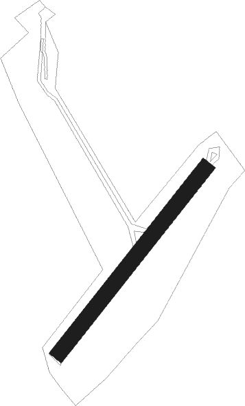
Runway info
| Runway 04 / 22 | ||
| length | 300m (984ft) | |
| bearing | 55° / 235° | |
| width | 20m (66ft) | |
| surface | grass | |
Nearby beacons
| code | identifier | dist | bearing | frequency |
|---|---|---|---|---|
| DIN | DINARD PLEURTUIT SAINT MA VOR/DME | 24.3 | 259° | 114.30 |
| JSY | JERSEY VOR/DME | 37.8 | 313° | 112.20 |
| REN | RENNES SAINT JACQUES VOR/DME | 39.3 | 201° | 109.25 |
| JW | JERSEY NDB | 41.5 | 305° | 329 |
| LA | LAVAL NDB | 54.5 | 132° | 401 |
| MP | CHERBOURG NDB | 56.2 | 8° | 373 |
Disclaimer
The information on this website is not for real aviation. Use this data with the X-Plane flight simulator only! Data taken with kind consent from X-Plane 12 source code and data files. Content is subject to change without notice.