Mio - Oscoda County
Airport details
| Country | United States of America |
| State | Michigan |
| Region | |
| Airspace | Minneapolis Ctr |
| Municipality | Mio |
| Elevation | 1033ft (315m) |
| Timezone | GMT -5 |
| Coordinates | 44.67484, -84.12204 |
| Magnetic var | |
| Type | land |
| Available since | X-Plane v10.40 |
| ICAO code | 51M |
| IATA code | n/a |
| FAA code | 51M |
Communication
| Oscoda County CTAF | 122.900 |
Nearby Points of Interest:
Oscoda County Courthouse
-Douglas House (Lovells Township, Michigan)
-Edward E. Hartwick Memorial Building
-Johannesburg Manufacturing Company Store
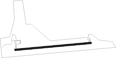
Runway info
| Runway 9 / 27 | ||
| length | 913m (2995ft) | |
| bearing | 89° / 269° | |
| width | 23m (75ft) | |
| surface | asphalt | |
Nearby beacons
| code | identifier | dist | bearing | frequency |
|---|---|---|---|---|
| CGG | GRAYLING VOR | 25.9 | 271° | 109.80 |
| AP | FELPS (ALPENA) NDB | 29.4 | 63° | 206 |
| GYG | GRAYLING NDB | 30.4 | 276° | 359 |
| GLR | GAYLORD VOR/DME | 32 | 300° | 109.20 |
| ASP | SABLE (OSCODA) DME | 33.9 | 107° | 116.10 |
| APN | ALPENA VORTAC | 34.3 | 54° | 108.80 |
| GL | BANGU (GAYLORD) NDB | 35.6 | 296° | 375 |
| PLN | PELLSTON VORTAC | 61.8 | 330° | 111.80 |
Disclaimer
The information on this website is not for real aviation. Use this data with the X-Plane flight simulator only! Data taken with kind consent from X-Plane 12 source code and data files. Content is subject to change without notice.