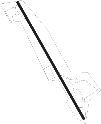
Spencer - Slate Run
Airport details
| Country | United States of America |
| State | West Virginia |
| Region | K6 |
| Airspace | Indianapolis Ctr |
| Municipality | Roane County |
| Elevation | 1000ft (305m) |
| Timezone | GMT -5 |
| Coordinates | 38.77751, -81.31018 |
| Magnetic var | |
| Type | land |
| Available since | X-Plane v10.40 |
| ICAO code | 55I |
| IATA code | n/a |
| FAA code | n/a |
Communication
Nearby Points of Interest:
Albert S. Heck Mansion
-Burning Springs Complex
-Ruble Church
-Clendenin Historic District
-Wirt County Courthouse
-Beauchamp-Newman House
-Clerc-Carson House
-Armstrong House
-Rankin Octagonal Barn
-Old Clay County Courthouse
-Lemley-Wood-Sayer House
-Ravenswood "Old Town" Historic District
-Bank of Cairo
-Harrisville Historic District (Harrisville, West Virginia)
-Ritchie County Courthouse
-William Edgar Haymond House
-Old Sutton High School
-Edgewood Historic District
-Breezemont
-Laidley-Summers-Quarrier House
-Littlepage Stone Mansion
-Mattie V. Lee Home
-Charmco Building
-Daniel Boone Hotel
-Samuel Starks House
Nearby beacons
| code | identifier | dist | bearing | frequency |
|---|---|---|---|---|
| PK | VERSI (PARKERSBURG) NDB | 29.7 | 340° | 388 |
| HNN | DME | 33.5 | 268° | 115.90 |
| HVQ | CHARLESTON VOR/DME | 33.5 | 227° | 117.40 |
| JPU | PARKERSBURG VOR/DME | 39.9 | 354° | 108.60 |
| UGS | UNIVERSITY (ATHENS) NDB | 47.7 | 300° | 250 |
| RNL | RAINELLE VOR | 53.6 | 148° | 116.60 |
| BKW | BECKLEY VOR/DME | 60.5 | 169° | 117.70 |
| LWB | DME | 69.8 | 135° | 116.05 |
| LW | BUSHI (LEWISBURG) NDB | 71.7 | 140° | 346 |
Disclaimer
The information on this website is not for real aviation. Use this data with the X-Plane flight simulator only! Data taken with kind consent from X-Plane 12 source code and data files. Content is subject to change without notice.
