Rotan - Fisher Co
Airport details
| Country | United States of America |
| State | Texas |
| Region | K4 |
| Airspace | Ft Worth Ctr |
| Municipality | Fisher County |
| Elevation | 1939ft (591m) |
| Timezone | GMT -6 |
| Coordinates | 32.82431, -100.41283 |
| Magnetic var | |
| Type | land |
| Available since | X-Plane v10.40 |
| ICAO code | 56F |
| IATA code | n/a |
| FAA code | 56F |
Communication
| Fisher Co CTAF | 122.900 |
Nearby Points of Interest:
First National Bank Building
-Old Kent County Jail
-Saint John’s Methodist Church
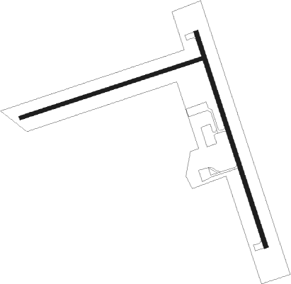
Runway info
Runway 16 / 34  | ||
| length | 995m (3264ft) | |
| bearing | 164° / 344° | |
| width | 18m (60ft) | |
| surface | asphalt | |
| Runway 07 / 25 | ||
| length | 838m (2749ft) | |
| bearing | 79° / 259° | |
| width | 15m (50ft) | |
| surface | grass | |
| displ threshold | 61m (200ft) / 0m (0ft) | |
Nearby beacons
| code | identifier | dist | bearing | frequency |
|---|---|---|---|---|
| SDR | SNYDER NDB | 27.9 | 257° | 359 |
| ABI | ABILENE VORTAC | 34.5 | 122° | 113.70 |
| DYS | DYESS (ABILENE) TACAN | 37.2 | 126° | 133.60 |
| TQA | TUSCOLA (ABILENE) VOR/DME | 46.4 | 135° | 111.60 |
| AB | TOMHI (ABILENE) NDB | 48.9 | 125° | 353 |
| GTH | DME | 57.4 | 5° | 114.50 |
Disclaimer
The information on this website is not for real aviation. Use this data with the X-Plane flight simulator only! Data taken with kind consent from X-Plane 12 source code and data files. Content is subject to change without notice.