Islesboro
Airport details
| Country | United States of America |
| State | Maine |
| Region | |
| Airspace | Boston Ctr |
| Municipality | Islesboro |
| Elevation | 90ft (27m) |
| Timezone | GMT -5 |
| Coordinates | 44.29924, -68.90962 |
| Magnetic var | |
| Type | land |
| Available since | X-Plane v10.40 |
| ICAO code | 57B |
| IATA code | n/a |
| FAA code | 57B |
Communication
Nearby Points of Interest:
John Perkins House
-Pentagoet Archeological District
-Cate House
-Bowdoin
-Winter Harbor Light
-Pumpkin Island Light
-Norumbega Castle
-High Street Historic District
-James P. White House
-Black Horse Tavern
-Church Street Historic District
-Lewis R. French
-Mercantile
-Camden Public Library
-Grace Bailey
-Belfast Historic District
-Camden Great Fire Historic District
-Camden Yacht Club
-Lincolnville Center Meeting House
-First Church of Belfast
-US Post Office-Camden Main
-Masonic Temple
-Belfast Commercial Historic District
-Chestnut Street Historic District
-James G. Pendleton House
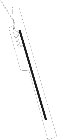
Runway info
| Runway 1 / 19 | ||
| length | 732m (2402ft) | |
| bearing | 343° / 163° | |
| width | 15m (50ft) | |
| surface | asphalt | |
| displ threshold | 76m (249ft) / 0m (0ft) | |
Nearby beacons
| code | identifier | dist | bearing | frequency |
|---|---|---|---|---|
| SUH | SPRUCEHEAD (OWLS HEAD) NDB | 17.1 | 218° | 356 |
| BUP | BURNHAM (PITTSFIELD) NDB | 30.7 | 312° | 348 |
| BGR | BANGOR VORTAC | 32.6 | 4° | 114.80 |
| AUG | AUGUSTA VOR/DME | 38.1 | 271° | 114.95 |
| AU | DUNNS (AUGUSTA) NDB | 41.3 | 277° | 366 |
Disclaimer
The information on this website is not for real aviation. Use this data with the X-Plane flight simulator only! Data taken with kind consent from X-Plane 12 source code and data files. Content is subject to change without notice.