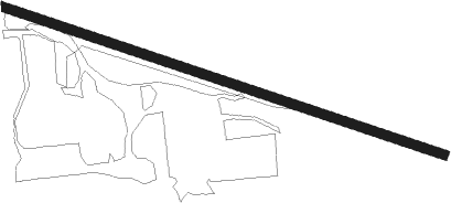
Boelus - Nelson
Airport details
| Country | United States of America |
| State | Nebraska |
| Region | |
| Airspace | Minneapolis Ctr |
| Municipality | Howard County |
| Elevation | 1981ft (604m) |
| Timezone | GMT -6 |
| Coordinates | 41.08213, -98.63345 |
| Magnetic var | |
| Type | land |
| Available since | X-Plane v10.40 |
| ICAO code | 59NE |
| IATA code | n/a |
| FAA code | 59NE |
Communication
Nearby Points of Interest:
St. Peder's Dansk Evangelical Lutheran Kirke
-Columbia Hall
-Howard County Courthouse
-Dannevirke Danish Lutheran Church and Community Hall
-Gloe Brothers Service Station
-Hamilton-Donald House
-H. J. Bartenbach House
-Grand Island Carnegie Library
-Grand Island United States Post Office and Courthouse
-Liederkranz
-Oscar Roeser House
-Heinrich Giese House
-Cathedral of the Nativity of the Blessed Virgin Mary (Grand Island, Nebraska)
-Hall County Courthouse
-Shady Bend Gas Station, Grocery, and Diner
-George Meisner House
-Meisner Bank Building
-Sherman County Courthouse
-Nine Bridges Bridge
-Cahow Barber Shop
-North Loup Bridge
-Church of the Visitation of the Blessed Virgin Mary
-Wright Morris Boyhood House
-Greeley County Courthouse
-Merrick County Courthouse
Nearby beacons
| code | identifier | dist | bearing | frequency |
|---|---|---|---|---|
| GRI | GRAND ISLAND VOR/DME | 15.5 | 107° | 112 |
| GR | SANCY NDB | 19.1 | 123° | 380 |
| OBH | WOLBACH VORTAC | 21.6 | 44° | 114.80 |
| EAR | KEARNEY VOR | 27.2 | 226° | 111.20 |
| HSI | HASTINGS VOR/DME | 30.1 | 157° | 108.80 |
| ODX | ORD NDB | 35.4 | 330° | 356 |
Disclaimer
The information on this website is not for real aviation. Use this data with the X-Plane flight simulator only! Data taken with kind consent from X-Plane 12 source code and data files. Content is subject to change without notice.
