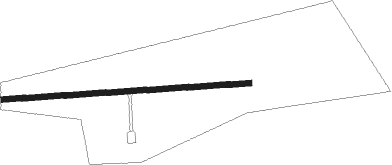
Barstow - Ludlow
Airport details
| Country | United States of America |
| State | California |
| Region | |
| Airspace | Los Angeles Ctr |
| Municipality | San Bernardino County |
| Elevation | 1700ft (518m) |
| Timezone | GMT -8 |
| Coordinates | 34.72875, -116.16307 |
| Magnetic var | |
| Type | land |
| Available since | X-Plane v10.40 |
| ICAO code | 5CA4 |
| IATA code | n/a |
| FAA code | 5CA4 |
Communication
Nearby Points of Interest:
Integratron
Nearby beacons
| code | identifier | dist | bearing | frequency |
|---|---|---|---|---|
| HEC | HECTOR VORTAC | 15.3 | 283° | 112.70 |
| DAG | DAGGETT VORTAC | 24.8 | 299° | 113.20 |
| TNP | TWENTYNINE PALMS VORTAC | 41.8 | 147° | 114.20 |
| PSP | PALM SPRINGS VORTAC | 53.2 | 197° | 115.50 |
| GFS | GOFFS VORTAC | 54.2 | 68° | 114.40 |
Disclaimer
The information on this website is not for real aviation. Use this data with the X-Plane flight simulator only! Data taken with kind consent from X-Plane 12 source code and data files. Content is subject to change without notice.