Wilmot - Westosha
Airport details
| Country | United States of America |
| State | Wisconsin |
| Region | |
| Airspace | Chicago Ctr |
| Municipality | Twin Lakes |
| Elevation | 861ft (262m) |
| Timezone | GMT -6 |
| Coordinates | 42.51025, -88.20803 |
| Magnetic var | |
| Type | land |
| Available since | X-Plane v10.40 |
| ICAO code | 5K6 |
| IATA code | n/a |
| FAA code | 5K6 |
Communication
Nearby Points of Interest:
Memorial Hall
-Lucien Boneparte Covell House
-David Hall House
-Meyerhofer Cobblestone House
-Burlington Community Swimming Pools and Bathhouse
-Redwood Cottage
-Main Street Historic District
-The Riviera
-Horticultural Hall
-John and Margaret Bell House
-George Stickney House
-Terwilliger House
-Franklyn Hazelo House
-Old McHenry County Courthouse
-Mrs. Isaac D. Adler House
-Henry I. Paddock House
-Chiwaukee Prairie
-Zion Chapter House
-Washington Park Clubhouse
-Public Service Building
-Kenosha County Courthouse and Jail
-Civic Center Historic District
-Frank and Jane Isermann House
-Anthony and Caroline Isermann House
-Bradford Community Church
Runway info
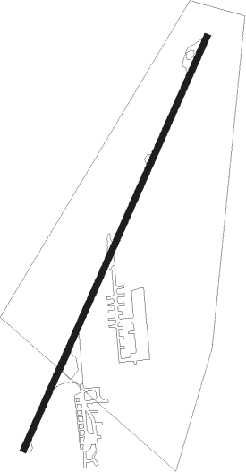
| Runway 3 / 21 | ||
| length | 870m (2854ft) | |
| bearing | 36° / 216° | |
| width | 12m (40ft) | |
| surface | asphalt | |
| displ threshold | 11m (36ft) / 3m (10ft) | |
Nearby beacons
| code | identifier | dist | bearing | frequency |
|---|---|---|---|---|
| BUU | (BURLINGTON) DME | 11.5 | 332° | 114.50 |
| ENW | DME | 13.3 | 72° | 109.20 |
| RA | PASER (RACINE) NDB | 17.1 | 61° | 206 |
| UG | WAUKE (CHICAGO/WAUKEGAN) NDB | 18.2 | 97° | 379 |
| OBK | NORTHBROOK VOR/DME | 20.7 | 138° | 113 |
| HRK | (RACINE) DME | 23 | 57° | 117.70 |
| GCO | DME | 33.8 | 149° | 108.25 |
| BAE | BADGER (MILWAUKEE) VOR/DME | 36.5 | 353° | 116.40 |
| LJT | (MILWAUKEE) DME | 36.7 | 16° | 115.65 |
| DPA | DUPAGE (CHICAGO) VOR/DME | 37.7 | 193° | 108.40 |
| JVL | JANESVILLE VOR/DME | 39.8 | 273° | 114.30 |
| RYV | ROCK RIVER (WATERTOWN) NDB | 45.8 | 322° | 371 |
| RFD | DME | 47.1 | 254° | 110.80 |
| MX | KEDZI (CHICAGO) NDB | 51.6 | 146° | 248 |
| BJB | WEST BEND VOR | 54.8 | 5° | 109.80 |
| JOT | JOLIET VOR/DME | 58 | 187° | 112.30 |
| UNU | JUNEAU NDB | 59.2 | 332° | 344 |
| GY | GARIE (GARY) NDB | 68.6 | 137° | 236 |
Disclaimer
The information on this website is not for real aviation. Use this data with the X-Plane flight simulator only! Data taken with kind consent from X-Plane 12 source code and data files. Content is subject to change without notice.