Mclaughlin - Mclaughlin Muni
Airport details
| Country | United States of America |
| State | South Dakota |
| Region | K3 |
| Airspace | Minneapolis Ctr |
| Municipality | Bear Soldier Distrcit |
| Elevation | 2003ft (611m) |
| Timezone | GMT -7 |
| Coordinates | 45.79681, -100.78425 |
| Magnetic var | |
| Type | land |
| Available since | X-Plane v10.40 |
| ICAO code | 5P2 |
| IATA code | n/a |
| FAA code | n/a |
Communication
| Mclaughlin Muni CTAF/UNICOM | 122.800 |
Nearby Points of Interest:
Sitting Bull Monument
-A. H. Brown Public Library
-Mobridge Masonic Temple
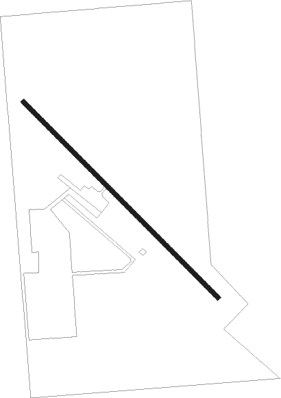
Runway info
| Runway 13 / 31 | ||
| length | 1159m (3802ft) | |
| bearing | 129° / 309° | |
| width | 18m (60ft) | |
| surface | asphalt | |
Nearby beacons
| code | identifier | dist | bearing | frequency |
|---|---|---|---|---|
| BIS | BISMARCK VOR/DME | 58.1 | 7° | 116.50 |
| DPR | DUPREE VOR/DME | 58.3 | 232° | 116.80 |
Disclaimer
The information on this website is not for real aviation. Use this data with the X-Plane flight simulator only! Data taken with kind consent from X-Plane 12 source code and data files. Content is subject to change without notice.