Dequincy - Dequincy Industrial Airpark
Airport details
| Country | United States of America |
| State | Louisiana |
| Region | K4 |
| Airspace | Houston Oceanic Ctr |
| Municipality | DeQuincy |
| Elevation | 81ft (25m) |
| Timezone | GMT -6 |
| Coordinates | 30.44108, -93.47361 |
| Magnetic var | |
| Type | land |
| Available since | X-Plane v10.40 |
| ICAO code | 5R8 |
| IATA code | n/a |
| FAA code | n/a |
Communication
| Dequincy Industrial Airpark CTAF/UNICOM | 122.800 |
| Dequincy Industrial Airpark LAKE CHARLES Approach/Departure | 119.350 |
Nearby Points of Interest:
Kansas City Southern Depot
-Muller's Department Store
-Burks House
-DeRidder USO Building
-DeRidder Commercial Historic District
-Beauregard Parish Courthouse
-Beauregard Parish Jail
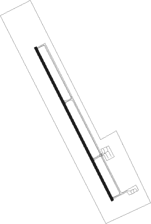
Runway info
| Runway 16 / 34 | ||
| length | 1524m (5000ft) | |
| bearing | 155° / 335° | |
| width | 23m (75ft) | |
| surface | asphalt | |
Nearby beacons
| code | identifier | dist | bearing | frequency |
|---|---|---|---|---|
| AUR | SULFY (SULPHUR) NDB | 14.8 | 168° | 278 |
| CW | MOSSY (LAKE CHARLES) NDB | 16.4 | 116° | 418 |
| DXB | DE RIDDER NDB | 20 | 24° | 385 |
| LCH | LAKE CHARLES VORTAC | 26.2 | 129° | 113.40 |
| BPT | BEAUMONT VOR/DME | 40.9 | 228° | 114.50 |
| FXU | POLK (FORT POLK) VOR | 42.3 | 21° | 108.40 |
| GDE | GOODHUE (BEAUMONT) NDB | 44.2 | 243° | 368 |
| SBI | SABINE PASS VOR/DME | 53.9 | 217° | 115.40 |
| AEX | ALEXANDRIA VORTAC | 70.1 | 50° | 116.10 |
Instrument approach procedures
| runway | airway (heading) | route (dist, bearing) |
|---|---|---|
| RW16 | LCH (309°) | LCH FEPRO (37mi, 316°) 1700ft FEPRO (turn) 1700ft |
| RW16 | STRUT (5°) | STRUT FEPRO (28mi, 352°) 1700ft FEPRO (turn) 1700ft |
| RNAV | FEPRO 1700ft DEQHU (6mi, 154°) 1700ft ZEVSA (3mi, 154°) 800ft 5R8 (3mi, 154°) 123ft (5585mi, 108°) 365ft QUNKE (5583mi, 288°) STRUT (13mi, 197°) 2000ft STRUT (turn) | |
| RW34 | LCH (309°) | LCH HATGU (16mi, 294°) 1700ft |
| RW34 | STRUT (5°) | STRUT HATGU (9mi, 45°) 1700ft |
| RNAV | HATGU 1700ft QUNKE (6mi, 334°) 1700ft CIXET (3mi, 334°) 760ft 5R8 (2mi, 334°) 131ft (5585mi, 108°) 333ft FEPRO (5589mi, 288°) 1700ft FEPRO (turn) |
Disclaimer
The information on this website is not for real aviation. Use this data with the X-Plane flight simulator only! Data taken with kind consent from X-Plane 12 source code and data files. Content is subject to change without notice.