Port Orford - Cape Blanco State
Airport details
| Country | United States of America |
| State | Oregon |
| Region | K1 |
| Airspace | Seattle Ctr |
| Municipality | Curry County |
| Elevation | 211ft (64m) |
| Timezone | GMT -8 |
| Coordinates | 42.85803, -124.51781 |
| Magnetic var | |
| Type | land |
| Available since | X-Plane v10.40 |
| ICAO code | 5S6 |
| IATA code | n/a |
| FAA code | n/a |
Communication
| CAPE BLANCO STATE CTAF | 122.900 |
Nearby Points of Interest:
Patrick Hughes House
-St. James Episcopal Church
-Isaac Lee Patterson Bridge
-Gold Beach Ranger Station
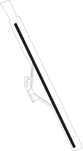
Runway info
| Runway 14 / 32 | ||
| length | 1559m (5115ft) | |
| bearing | 152° / 332° | |
| width | 30m (98ft) | |
| surface | asphalt | |
Nearby beacons
| code | identifier | dist | bearing | frequency |
|---|---|---|---|---|
| OT | EMIRE (NORTH BEND) NDB | 33.4 | 21° | 378 |
| OTH | NORTH BEND VOR/DME | 36.8 | 32° | 112.10 |
Disclaimer
The information on this website is not for real aviation. Use this data with the X-Plane flight simulator only! Data taken with kind consent from X-Plane 12 source code and data files. Content is subject to change without notice.