Echo - West Buttercreek
Airport details
| Country | United States of America |
| State | Oregon |
| Region | |
| Airspace | Seattle Ctr |
| Municipality | Umatilla County |
| Elevation | 916ft (279m) |
| Timezone | GMT -8 |
| Coordinates | 45.66528, -119.38611 |
| Magnetic var | |
| Type | land |
| Available since | X-Plane v10.40 |
| ICAO code | 5S7 |
| IATA code | n/a |
| FAA code | OL02 |
Communication
Nearby Points of Interest:
St. Peter's Roman Catholic Church
-Umatilla Masonic Lodge Hall
-Echo Methodist Church
-Bank of Echo Building
-James H. and Cynthia Koontz House
-Wells Springs Segment
-Morrow County Courthouse
-Gilliam and Bisbee Building
-John F. Kilkenny United States Post Office and Courthouse
-Masonic Temple
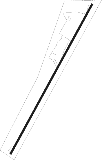
Runway info
| Runway 1 / 19 | ||
| length | 776m (2546ft) | |
| bearing | 43° / 223° | |
| width | 9m (30ft) | |
| surface | asphalt | |
Nearby beacons
| code | identifier | dist | bearing | frequency |
|---|---|---|---|---|
| PDT | PENDLETON VORTAC | 18.8 | 86° | 114.70 |
| PSC | PASCO VOR/DME | 38 | 24° | 109.80 |
Disclaimer
The information on this website is not for real aviation. Use this data with the X-Plane flight simulator only! Data taken with kind consent from X-Plane 12 source code and data files. Content is subject to change without notice.