Coulee City - Wilson Creek
Airport details
| Country | United States of America |
| State | Washington |
| Region | K1 |
| Airspace | Seattle Ctr |
| Municipality | Wilson Creek |
| Elevation | 1437ft (438m) |
| Timezone | GMT -8 |
| Coordinates | 47.42487, -119.11501 |
| Magnetic var | |
| Type | land |
| Available since | X-Plane v10.40 |
| ICAO code | 5W1 |
| IATA code | n/a |
| FAA code | n/a |
Communication
| Wilson Creek CTAF | 122.900 |
Nearby Points of Interest:
Grand Coulee
-Grant County Courthouse
-Withrow Moraine and Jameson Lake Drumlin Field
-Sims Corner Eskers and Kames
-Drumheller Channels National Natural Landmark
Runway info
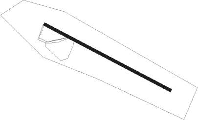
| Runway 10 / 28 | ||
| length | 757m (2484ft) | |
| bearing | 113° / 293° | |
| width | 15m (50ft) | |
| surface | asphalt | |
| blast zone | 107m (351ft) / 96m (315ft) | |
Nearby beacons
| code | identifier | dist | bearing | frequency |
|---|---|---|---|---|
| EPH | EPHRATA VORTAC | 12.8 | 261° | 112.60 |
| MWH | MOSES LAKE VOR/DME | 15.2 | 223° | 115 |
| MW | PELLY (MOSES LAKE) NDB | 19.6 | 207° | 408 |
Disclaimer
The information on this website is not for real aviation. Use this data with the X-Plane flight simulator only! Data taken with kind consent from X-Plane 12 source code and data files. Content is subject to change without notice.