Harrisville
Airport details
| Country | United States of America |
| State | Michigan |
| Region | |
| Airspace | Minneapolis Ctr |
| Municipality | Harrisville Township |
| Elevation | 672ft (205m) |
| Timezone | GMT -5 |
| Coordinates | 44.66573, -83.30730 |
| Magnetic var | |
| Type | land |
| Available since | X-Plane v10.40 |
| ICAO code | 5Y0 |
| IATA code | n/a |
| FAA code | 5Y0 |
Communication
Nearby Points of Interest:
Sturgeon Point Light
-Alpena County Courthouse
-Tawas Point Light
-Katherine V.
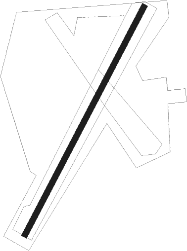
Runway info
| Runway 03 / 21 | ||
| length | 652m (2139ft) | |
| bearing | 41° / 221° | |
| width | 15m (50ft) | |
| surface | grass | |
Nearby beacons
| code | identifier | dist | bearing | frequency |
|---|---|---|---|---|
| ASP | SABLE (OSCODA) DME | 13.5 | 202° | 116.10 |
| AP | FELPS (ALPENA) NDB | 20.7 | 319° | 206 |
| APN | ALPENA VORTAC | 27.2 | 329° | 108.80 |
Disclaimer
The information on this website is not for real aviation. Use this data with the X-Plane flight simulator only! Data taken with kind consent from X-Plane 12 source code and data files. Content is subject to change without notice.