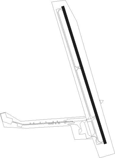
Cottage Grove - Cottage Grove State
Airport details
| Country | United States of America |
| State | Oregon |
| Region | K1 |
| Airspace | Seattle Ctr |
| Municipality | Lane County |
| Elevation | 641ft (195m) |
| Timezone | GMT -8 |
| Coordinates | 43.80410, -123.03204 |
| Magnetic var | |
| Type | land |
| Available since | X-Plane v10.40 |
| ICAO code | 61S |
| IATA code | n/a |
| FAA code | n/a |
Communication
| COTTAGE GROVE STATE CTAF/UNICOM | 122.800 |
Nearby Points of Interest:
Cochran-Rice Farm Complex
-Row River National Recreation Trail
-Horace J. and Ann S. Shinn Cottage
-Methodist Episcopal Church of Goshen
-Lowell Grange
-Wayne Morse Farm
-Jacob Clearwater House
-Clarence and Ethel Boyer House
-Benjamin Franklin Dorris House
-Southern Pacific Railroad Passenger Station and Freight House
-Knight Library
-Christian–Patterson Rental Property
-Patterson–Stratton House
-A. V. Peters House
-Brattain–Hadley House
-Johnson Hall
-Howard A. Hall House
-First Congregational Church
-Wilder Apartments
-Deady and Villard Halls
-Old Beta Theta Pi Fraternity House
-Daniel and Catherine Christian House
-Dads' Gates
-Abraham and Phoebe Ball House
-Rice Apartments
Nearby beacons
| code | identifier | dist | bearing | frequency |
|---|---|---|---|---|
| EUG | EUGENE VORTAC | 20.7 | 329° | 112.90 |
| RBG | ROSEBURG VOR/DME | 39.8 | 207° | 108.20 |
| CVO | CORVALLIS VOR/DME | 43.2 | 339° | 115.40 |
| LWG | LEWISBURG (CORVALLIS) NDB | 49.6 | 344° | 225 |
Disclaimer
The information on this website is not for real aviation. Use this data with the X-Plane flight simulator only! Data taken with kind consent from X-Plane 12 source code and data files. Content is subject to change without notice.