Adams - Adams County Legion
Airport details
| Country | United States of America |
| State | Wisconsin |
| Region | K5 |
| Airspace | Chicago Ctr |
| Municipality | Town of Adams |
| Elevation | 976ft (297m) |
| Timezone | GMT -6 |
| Coordinates | 43.96059, -89.78864 |
| Magnetic var | |
| Type | land |
| Available since | X-Plane v10.30 |
| ICAO code | 63C |
| IATA code | n/a |
| FAA code | 63C |
Communication
| Adams County Legion CTAF | 122.900 |
| Adams County Legion VOLK Approach/Departure | 135.250 |
Nearby Points of Interest:
Adams County Courthouse
-Benjamin Boorman House
-Juneau County Courthouse
-Wawbeek-Horace A.J. Upham House
-Jacob Weber House
-H. H. Bennett Studio
-Kilbourn Public Library
-Charles Samuel Richter House
-Waushara County Courthouse, Waushara County Sheriff's Residence and Jail
-Richard T. Ely House
-Fountain Lake Farm
-Seth Peterson Cottage
-Aldo Leopold Shack and Farm
-Judson C. Cutter House
-Reedsburg Brewery
-Edward M. Hackett House
-Reedsburg Post Office
-Main Street Commercial Historic District
-Beastro & Barley
-Reedsburg Woolen Mill
-Chicago and North Western Depot
-William Stolte, Jr., House
-William Stolte, Sr., House
-Old Indian Agency House
-Society Hill Historic District

Nearby beacons
| code | identifier | dist | bearing | frequency |
|---|---|---|---|---|
| DAF | NECEDAH NDB | 13.4 | 284° | 233 |
| VOK | VOLK (CAMP DOUGLAS) TACAN | 20.3 | 268° | 110.40 |
| DLL | DELLS (BARABOO) VORTAC | 24.6 | 177° | 117 |
| CMY | MC COY NDB | 36.9 | 268° | 412 |
| LNR | ROCK DME | 42.7 | 207° | 116.05 |
| MSN | MADISON VORTAC | 52.7 | 151° | 108.60 |
| AUW | WAUSAU VOR/DME | 53.9 | 13° | 111.60 |
Instrument approach procedures
| runway | airway (heading) | route (dist, bearing) |
|---|---|---|
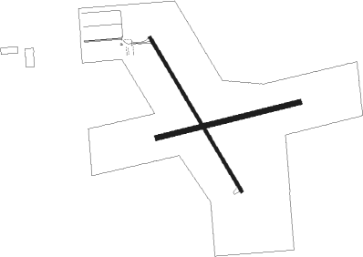
| RW33 | BANKY (210°) | BANKY NUFYO (29mi, 179°) 2800ft ULHUV (5mi, 250°) 2800ft |
| RW33 | DLL (357°) | DLL ULHUV (15mi, 20°) 2800ft |
| RW33 | HURST (87°) | HURST EDZIV (21mi, 112°) 2800ft ULHUV (5mi, 70°) 2800ft |
| RW33 | ULHUV (325°) | ULHUV 2800ft |
| RNAV | ULHUV 2800ft COSRO (5mi, 325°) 2800ft 63C (6mi, 325°) 1019ft (5396mi, 116°) 2000ft ULHUV (5391mi, 296°) 2800ft ULHUV (turn) |
Disclaimer
The information on this website is not for real aviation. Use this data with the X-Plane flight simulator only! Data taken with kind consent from X-Plane 12 source code and data files. Content is subject to change without notice.