Tyler - Tyler Muni
Airport details
| Country | United States of America |
| State | Minnesota |
| Region | |
| Airspace | Minneapolis Ctr |
| Municipality | Lincoln County |
| Elevation | 1742ft (531m) |
| Timezone | GMT -6 |
| Coordinates | 44.29122, -96.15348 |
| Magnetic var | |
| Type | land |
| Available since | X-Plane v10.40 |
| ICAO code | 63Y |
| IATA code | n/a |
| FAA code | 63Y |
Communication
| Tyler Muni CTAF | 122.900 |
| Tyler Muni AWOS3 MML | 120.150 |
Nearby Points of Interest:
Danebod
-St. Paul's Evangelical Lutheran Church & Parsonage
-Old Masonic Temple
-Pipestone Public Library
-Pipestone County Courthouse
-Lundring Service Station
-Canby Commercial Historic District
-Milroy State Bank Building
-Herman F. Micheel Gothic Arched-Roof Barn
-Horticulture Building
-Brookings County Courthouse
-Brookings Commercial Historic District
-John Rowe House
Runway info
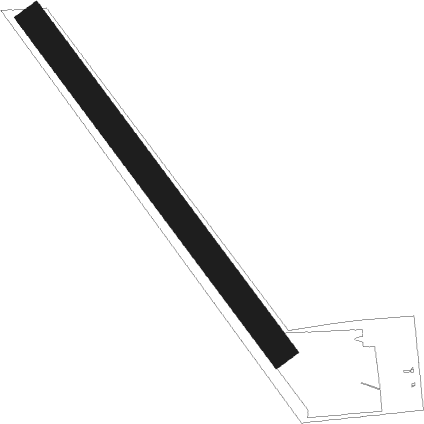
| Runway 14 / 32 | ||
| length | 768m (2520ft) | |
| bearing | 139° / 319° | |
| width | 52m (170ft) | |
| surface | grass | |
Nearby beacons
| code | identifier | dist | bearing | frequency |
|---|---|---|---|---|
| GB | GARNO (MARSHALL) NDB | 16.3 | 49° | 253 |
| MML | MARSHALL VOR/DME | 16.9 | 64° | 111 |
| BK | CHRLZ (BROOKINGS) NDB | 34.2 | 275° | 335 |
| MVE | MONTEVIDEO VOR/DME | 45 | 33° | 111.60 |
| OTG | WORTHINGTON VOR/DME | 45.9 | 138° | 110.60 |
| FSD | SIOUX FALLS VORTAC | 47.1 | 224° | 115 |
| OT | WONDD (WORTHINGTON) NDB | 50.2 | 134° | 277 |
| FS | ROKKY (SIOUX FALLS) NDB | 56.1 | 220° | 245 |
| ATY | WATERTOWN VORTAC | 59.1 | 305° | 116.60 |
Disclaimer
The information on this website is not for real aviation. Use this data with the X-Plane flight simulator only! Data taken with kind consent from X-Plane 12 source code and data files. Content is subject to change without notice.
