Trail - Prospect State
Airport details
| Country | United States of America |
| State | Oregon |
| Region | K1 |
| Airspace | Seattle Ctr |
| Municipality | Jackson County |
| Elevation | 2578ft (786m) |
| Timezone | GMT -8 |
| Coordinates | 42.74258, -122.48898 |
| Magnetic var | |
| Type | land |
| Available since | X-Plane v10.40 |
| ICAO code | 64S |
| IATA code | n/a |
| FAA code | n/a |
Communication
| Prospect State CTAF/UNICOM | 122.800 |
Nearby Points of Interest:
Imnaha Guard Station
-Union Creek Historic District
-Honeymoon Creek Snow-Survey Cabin
-Jacksonville-to-Fort Klamath Military Wagon Road
-Comfort Station No. 72
-Munson Valley Historic District
-Administration Building
-Comfort Station No. 68
-Rim Village Historic District
-Rim Drive Historic District
-Watchman Peak Trail
-Willow Prairie Cabin
-Army Corps of Engineers Road System
-Mount Scott Trail
-Tiller Ranger Station
-Camp White Station Hospital Administration Building
-Lake of the Woods Ranger Station
-Conro Fiero House
-Frank Chamberlain Clark House
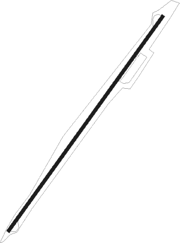
Runway info
| Runway 2 / 20 | ||
| length | 1221m (4006ft) | |
| bearing | 49° / 229° | |
| width | 15m (50ft) | |
| surface | asphalt | |
Nearby beacons
| code | identifier | dist | bearing | frequency |
|---|---|---|---|---|
| OED | ROGUE VALLEY (MEDFORD) VORTAC | 24.5 | 238° | 113.60 |
| MEF | MEDFORD NDB | 27.2 | 228° | 356 |
| RBG | ROSEBURG VOR/DME | 46.2 | 297° | 108.20 |
| LMT | KLAMATH FALLS VORTAC | 48.9 | 128° | 115.90 |
Disclaimer
The information on this website is not for real aviation. Use this data with the X-Plane flight simulator only! Data taken with kind consent from X-Plane 12 source code and data files. Content is subject to change without notice.