Coolin - Cavanaugh Bay
Airport details
| Country | United States of America |
| State | Idaho |
| Region | |
| Airspace | Seattle Ctr |
| Municipality | Bonner County |
| Elevation | 2481ft (756m) |
| Timezone | GMT -8 |
| Coordinates | 48.52276, -116.82344 |
| Magnetic var | |
| Type | land |
| Available since | X-Plane v10.40 |
| ICAO code | 66S |
| IATA code | n/a |
| FAA code | 66S |
Communication
Nearby Points of Interest:
Amanda Nesbitt House
-Sandpoint Historic District
-Dover Church
-Priest River Commercial Core Historic District
-Dr. John and Viola Phillips House and Office
-Russell and Pearl Soderling House
-Boundary County Courthouse
-Bonners Ferry Main Post Office
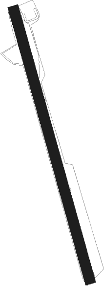
Runway info
| Runway 15 / 33 | ||
| length | 966m (3169ft) | |
| bearing | 163° / 343° | |
| width | 37m (120ft) | |
| surface | grass | |
Nearby beacons
| code | identifier | dist | bearing | frequency |
|---|---|---|---|---|
| SZT | SANDPOE (SANDPOINT) NDB | 17.3 | 132° | 264 |
| ION | IONE NDB | 25.9 | 288° | 379 |
| DPY | DEER PARK NDB | 41.1 | 227° | 365 |
| COE | COEUR D'ALENE VOR/DME | 44.9 | 180° | 108.80 |
| SKA | FAIRCHILD (SPOKANE) TACAN | 64.3 | 223° | 111.40 |
| GEG | SPOKANE VORTAC | 65.9 | 220° | 115.50 |
Disclaimer
The information on this website is not for real aviation. Use this data with the X-Plane flight simulator only! Data taken with kind consent from X-Plane 12 source code and data files. Content is subject to change without notice.