Agua Dulce - Old Hoppe Place
Airport details
| Country | United States of America |
| State | Texas |
| Region | K4 |
| Airspace | Houston Oceanic Ctr |
| Municipality | Nueces County |
| Elevation | 100ft (30m) |
| Timezone | GMT -6 |
| Coordinates | 27.80000, -97.85167 |
| Magnetic var | |
| Type | land |
| Available since | X-Plane v10.40 |
| ICAO code | 67TX |
| IATA code | n/a |
| FAA code | 67T |
Communication
| Old Hoppe Place CTAF | 122.900 |
Nearby Points of Interest:
John B. Ragland Mercantile Company Building
-King Ranch
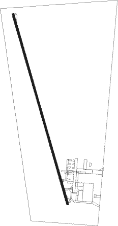
Runway info
| Runway 16 / 34 | ||
| length | 904m (2966ft) | |
| bearing | 167° / 347° | |
| width | 9m (30ft) | |
| surface | concrete | |
| blast zone | 14m (46ft) / 12m (39ft) | |
Nearby beacons
| code | identifier | dist | bearing | frequency |
|---|---|---|---|---|
| ALI | ALICE VOR | 9.7 | 250° | 114.50 |
| NOG | ORANGE GROVE TACAN | 11.6 | 297° | 133.60 |
| NQI | KINGSVILLE TACAN | 18.2 | 171° | 117.80 |
| CRP | CORPUS CHRISTI VORTAC | 22.4 | 76° | 115.50 |
| NGP | TRUAX (CORPUS CHRISTI) TACAN | 30.3 | 102° | 114 |
| THX | THREE RIVERS VORTAC | 45.1 | 337° | 111.40 |
| EOC | COYOTE (ENCINO) NDB | 60.1 | 201° | 232 |
Disclaimer
The information on this website is not for real aviation. Use this data with the X-Plane flight simulator only! Data taken with kind consent from X-Plane 12 source code and data files. Content is subject to change without notice.