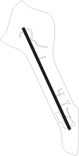
Cottonwood - Lake California Air Park
Airport details
| Country | United States of America |
| State | California |
| Region | K2 |
| Airspace | Oakland Ctr |
| Municipality | Tehama County |
| Elevation | 615ft (187m) |
| Timezone | GMT -8 |
| Coordinates | 40.36111, -122.21584 |
| Magnetic var | |
| Type | land |
| Available since | X-Plane v10.40 |
| ICAO code | 68CA |
| IATA code | n/a |
| FAA code | 68CA |
Communication
| Lake California Air Park CTAF | 122.900 |
Nearby Points of Interest:
Reading Adobe Site
-Cottonwood Historic District
-Oconee Hill Cemetery
-Old Bank of America Building
-Odd Fellows Building
-Saint Mary's Parish
-Edward Frisbie House
-Maywood Woman's Club
-Lake Shasta Caverns
-Park Headquarters, Lassen Volcanic National Park
Nearby beacons
| code | identifier | dist | bearing | frequency |
|---|---|---|---|---|
| RDD | REDDING VOR/DME | 9.2 | 332° | 108.40 |
| RBL | RED BLUFF VORTAC | 15.7 | 184° | 115.70 |
Disclaimer
The information on this website is not for real aviation. Use this data with the X-Plane flight simulator only! Data taken with kind consent from X-Plane 12 source code and data files. Content is subject to change without notice.