Slatington
Airport details
| Country | United States of America |
| State | Pennsylvania |
| Region | |
| Airspace | New York Ctr |
| Municipality | Slatington |
| Elevation | 378ft (115m) |
| Timezone | GMT -5 |
| Coordinates | 40.76023, -75.60487 |
| Magnetic var | |
| Type | land |
| Available since | X-Plane v10.40 |
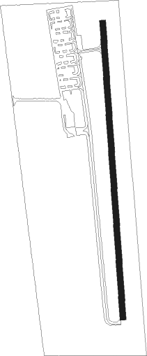
| ICAO code | 69N |
| IATA code | n/a |
| FAA code | 69N |
Communication
Nearby Points of Interest:
Lehigh Canal
-Slatington Historic District
-Frantz's Bridge
-Coplay Cement Company Kilns
-Mauch Chunk
-Coopersburg Historic District
-Catasauqua Residential Historic District
-Harry Packer Mansion
-Old Mauch Chunk Historic District
-Biery's Port Historic District
-Dent Hardware Company Factory Complex
-Helfrich's Springs Grist Mill
-Daniel Steckel House
-Mauch Chunk Switchback Railway
-Allentown Masonic Temple
-Haines Mill
-Allentown National Bank
-Neuweiler Brewery
-Dime Savings and Trust Company
-Zollinger-Harned Company Building
-Nesquehoning High School
-Old Lehigh County Courthouse
-Dorneyville Crossroad Settlement
-Albertus L. Meyers Bridge
-Gauff-Roth House
Nearby beacons
| code | identifier | dist | bearing | frequency |
|---|---|---|---|---|
| FJC | ALLENTOWN VORTAC | 7.1 | 103° | 117.50 |
| ETX | EAST TEXAS VOR/DME | 11.3 | 204° | 110.20 |
| LVZ | WILKES-BARRE VORTAC | 31 | 351° | 111.60 |
| PTW | POTTSTOWN VORTAC | 32.3 | 175° | 116.50 |
| BWZ | BROADWAY (SCHOOLEY'S MT) VOR/DME | 35.6 | 87° | 114.20 |
| STW | STILLWATER VOR/DME | 36.2 | 72° | 109.60 |
| ING | AMBLER NDB | 40.7 | 153° | 275 |
| SBJ | SOLBERG VOR/DME | 40.7 | 102° | 112.90 |
| ARD | YARDLEY VOR/DME | 44 | 126° | 108.20 |
| RAV | RAVINE VORTAC | 46.9 | 258° | 114.60 |
| BZJ | BELLGROVE (INDIANTOWN GAP) NDB | 47.4 | 251° | 328 |
| LRP | LANCASTER VOR/DME | 49.6 | 227° | 117.30 |
| MXE | MODENA VORTAC | 50.6 | 184° | 113.20 |
Disclaimer
The information on this website is not for real aviation. Use this data with the X-Plane flight simulator only! Data taken with kind consent from X-Plane 12 source code and data files. Content is subject to change without notice.