Valley City - Barnes Co Muni
Airport details
| Country | United States of America |
| State | North Dakota |
| Region | K3 |
| Airspace | Minneapolis Ctr |
| Municipality | Barnes County |
| Elevation | 1398ft (426m) |
| Timezone | GMT -6 |
| Coordinates | 46.94118, -98.01802 |
| Magnetic var | |
| Type | land |
| Available since | X-Plane v10.35 |
| ICAO code | 6D8 |
| IATA code | n/a |
| FAA code | BAC |
Communication
| Barnes Co Muni CTAF/UNICOM | 122.800 |
Nearby Points of Interest:
Barnes County Courthouse
-All Saints Episcopal Church
-Valley City Carnegie Library
-Rainbow Arch Bridge
-U.S. Post Office-Valley City
-Valley City Municipal Auditorium
-Old Stone Church
-Midland Continental Railroad Depot
-T. J. Walker Historic District
-Baldwin's Arcade
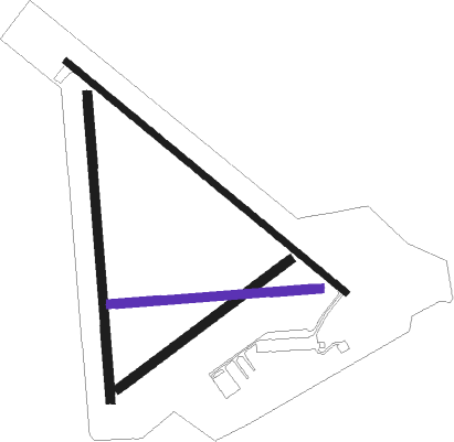
Runway info
Runway 13 / 31  | ||
| length | 1281m (4203ft) | |
| bearing | 124° / 304° | |
| width | 23m (75ft) | |
| surface | asphalt | |
| Runway 17 / 35 | ||
| length | 1083m (3553ft) | |
| bearing | 180° / 0° | |
| width | 30m (100ft) | |
| surface | grass | |
| Runway 05 / 23 | ||
| length | 754m (2474ft) | |
| bearing | 67° / 247° | |
| width | 30m (100ft) | |
| surface | grass | |
| Runway 08 / 26 | ||
| length | 742m (2434ft) | |
| bearing | 90° / 270° | |
| width | 30m (100ft) | |
| surface | grass | |
Nearby beacons
| code | identifier | dist | bearing | frequency |
|---|---|---|---|---|
| JMS | JAMESTOWN VOR/DME | 27.1 | 269° | 114.50 |
| GF | HISER NDB | 64.1 | 43° | 345 |
Disclaimer
The information on this website is not for real aviation. Use this data with the X-Plane flight simulator only! Data taken with kind consent from X-Plane 12 source code and data files. Content is subject to change without notice.