Sisters - Sisters Eagle Air
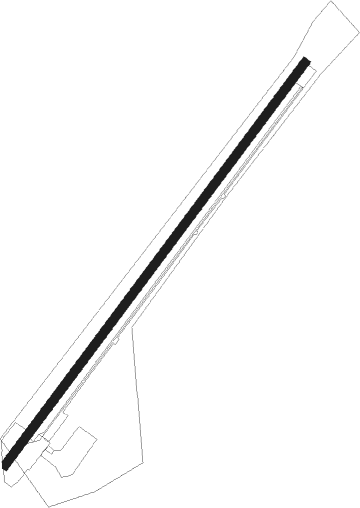
Airport details
| Country | United States of America |
| State | Oregon |
| Region | K1 |
| Airspace | Seattle Ctr |
| Municipality | Deschutes County |
| Elevation | 3166ft (965m) |
| Timezone | GMT -8 |
| Coordinates | 44.30151, -121.54316 |
| Magnetic var | |
| Type | land |
| Available since | X-Plane v10.40 |
| ICAO code | 6K5 |
| IATA code | n/a |
| FAA code | 6K5 |
Communication
| Sisters Eagle Air CTAF | 122.900 |
Nearby Points of Interest:
Sisters High School
-Camp Sherman Community Hall
-Oregon Route 242
-Santiam Wagon Road
-Deschutes River Trail
-Milton Odem House
-Charles Boyd Homestead Group
-Emil and Ottilie Wienecke House
-B. A. and Ruth Stover House
-Drake Park Neighborhood Historic District
-Robert D. Moore House
-N. P. Smith Pioneer Hardware Store
-George Palmer and Dorothy Binney Putnam House
-Thomas McCann House
-Congress Apartments
-O'Kane Building
-Old U.S. Post Office
-Downing Building
-Evan Andreas Sather House
-Deschutes Public Library Administration Building
-Old Bend High School
-Bend Amateur Athletic Club Gymnasium
-Peter Byberg House
-Simpson E. Jones House
-Oregon Trunk Railway Passenger and Freight Station
Nearby beacons
| code | identifier | dist | bearing | frequency |
|---|---|---|---|---|
| DSD | DESCHUTES (REDMOND) VORTAC | 10.7 | 101° | 117.60 |
Disclaimer
The information on this website is not for real aviation. Use this data with the X-Plane flight simulator only! Data taken with kind consent from X-Plane 12 source code and data files. Content is subject to change without notice.