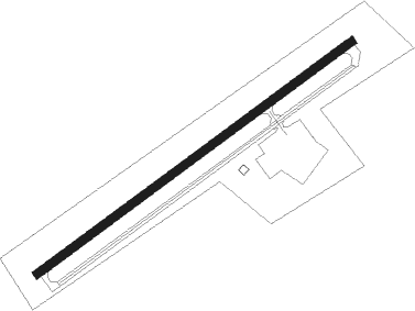
Mcconnell - Logan Co
Airport details
| Country | United States of America |
| State | West Virginia |
| Region | K6 |
| Airspace | Indianapolis Ctr |
| Municipality | Logan County |
| Elevation | 1666ft (508m) |
| Timezone | GMT -5 |
| Coordinates | 37.85569, -81.91589 |
| Magnetic var | |
| Type | land |
| Available since | X-Plane v10.40 |
| ICAO code | 6L4 |
| IATA code | n/a |
| FAA code | n/a |
Communication
| Logan Co CTAF | 122.900 |
| Logan Co Approach/Departure | 126.575 |
| Logan Co Approach/Departure | 119.200 |
Nearby Points of Interest:
Madison National Bank
-Boone County Courthouse
-Nellis Historic District
-Williamson Historic District
-Coal House
-Holley Hills Estate
-Wyoming County Courthouse and Jail
-Martin Himler House
-Lincoln National Bank
-Ebenezer Chapel
-Samuel Shrewsbury, Sr. House
-Itmann Company Store and Office
-Welch Commercial Historic District
-McDowell County Courthouse
-Mullens Historic District
-Carter Coal Company Store
-William S. Gilliland Log Cabin and Cemetery
-Wyco Church
-W.E. Chilton II House
-Col. Henry Hewitt Wood House
-Bird Haven
-Barnes-Wellford House
-Briarwood
-Stoneleigh
-Dalgain
Nearby beacons
| code | identifier | dist | bearing | frequency |
|---|---|---|---|---|
| HVQ | CHARLESTON VOR/DME | 30.4 | 16° | 117.40 |
| BKW | BECKLEY VOR/DME | 37.8 | 95° | 117.70 |
| BLF | BLUEFIELD VOR/DME | 47.6 | 127° | 110 |
| ECB | DME | 50.4 | 287° | 110.40 |
| HNN | DME | 54.2 | 353° | 115.90 |
Instrument approach procedures
| runway | airway (heading) | route (dist, bearing) |
|---|---|---|
| RW06 | CELLI (115°) | CELLI HUMOS (13mi, 164°) 3800ft MYNAS (6mi, 122°) 3800ft |
| RW06 | SLINK (5°) | SLINK DRUGS (13mi, 323°) 5000ft MYNAS (6mi, 345°) 3800ft |
| RNAV | MYNAS 3800ft LOWAK (7mi, 63°) 3000ft VARNY (2mi, 64°) 2460ft 6L4 (3mi, 64°) 1712ft (5022mi, 115°) 1963ft LIENS (5013mi, 295°) 4500ft LIENS (turn) | |
| RW24 | FEDEX (224°) | FEDEX 5500ft LIENS (7mi, 183°) 4500ft |
| RW24 | TERRN (269°) | TERRN LIENS (12mi, 293°) 4500ft |
| RNAV | LIENS 4500ft DANBE (6mi, 244°) 3300ft IYIYI (3mi, 244°) 2440ft 6L4 (3mi, 244°) 1708ft (5022mi, 115°) 1916ft MYNAS (5031mi, 295°) 3800ft MYNAS (turn) |
Disclaimer
The information on this website is not for real aviation. Use this data with the X-Plane flight simulator only! Data taken with kind consent from X-Plane 12 source code and data files. Content is subject to change without notice.
