Laurel - Laurel Muni
Airport details
| Country | United States of America |
| State | Montana |
| Region | K1 |
| Airspace | Salt Lake City Ctr |
| Municipality | Yellowstone County |
| Elevation | 3517ft (1072m) |
| Timezone | GMT -7 |
| Coordinates | 45.70438, -108.75951 |
| Magnetic var | |
| Type | land |
| Available since | X-Plane v10.40 |
| ICAO code | 6S8 |
| IATA code | n/a |
| FAA code | 6S8 |
Communication
| Laurel Muni CTAF/UNICOM | 123.050 |
| Laurel Muni BILLING Approach/Departure | 119.200 |
| Laurel Muni BILLING Approach/Departure | 120.500 |
Nearby Points of Interest:
Fire House No. 2
-Masonic Temple
-Billings Chamber of Commerce Building
-Oliver Building
-L and L Building
-United States Post Office and Courthouse–Billings
-Pictograph Cave
-Joliet Bridge
-Fromberg Concrete Arch Bridge
-Michael Jacobs House
-Glidden Mercantile
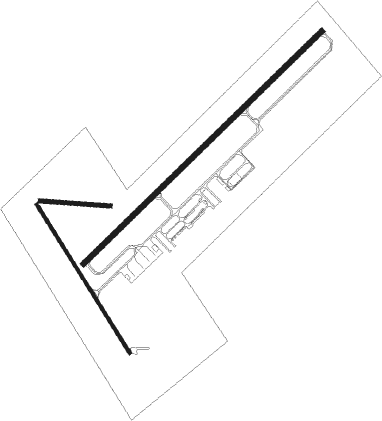
Runway info
Runway 4 / 22  | ||
| length | 1583m (5194ft) | |
| bearing | 60° / 240° | |
| width | 23m (75ft) | |
| surface | asphalt | |
| Runway 14 / 32 | ||
| length | 831m (2726ft) | |
| bearing | 143° / 323° | |
| width | 15m (50ft) | |
| surface | asphalt | |
| displ threshold | 0m (0ft) / 157m (515ft) | |
| Runway 09 / 27 | ||
| length | 334m (1096ft) | |
| bearing | 96° / 276° | |
| width | 18m (60ft) | |
| surface | grass | |
Nearby beacons
| code | identifier | dist | bearing | frequency |
|---|---|---|---|---|
| BIL | BILLINGS VORTAC | 8.4 | 52° | 114.50 |
| HCY | COWLEY NDB | 49.3 | 158° | 257 |
| POY | POWELL NDB | 50.3 | 182° | 344 |
Instrument approach procedures
| runway | airway (heading) | route (dist, bearing) |
|---|---|---|
| RW04 | HAKDI (36°) | HAKDI JIBES (8mi, 333°) 7000ft |
| RW04 | JIBES (60°) | JIBES 7000ft |
| RW04 | REEPO (94°) | REEPO FAVUP (20mi, 112°) 7200ft JIBES (5mi, 112°) 7000ft |
| RNAV | JIBES 7000ft NERKE (6mi, 60°) 6000ft CAMUD (6mi, 60°) 4220ft 6S8 (2mi, 60°) 3521ft (6185mi, 113°) 4300ft JIBES (6197mi, 293°) 7000ft JIBES (turn) | |
| RW22 | ARDMO (274°) | ARDMO ZEKLO (11mi, 325°) 7000ft INAVE (7mi, 292°) 7000ft |
| RW22 | BIL (232°) | BIL INAVE (8mi, 67°) 7000ft INAVE (turn) 7000ft |
| RW22 | NIBBE (252°) | NIBBE INAVE (17mi, 262°) 7000ft |
| RW22 | SHELA (184°) | SHELA LOPBI (12mi, 121°) 7000ft INAVE (7mi, 153°) 7000ft |
| RNAV | INAVE 7000ft SEPVE (6mi, 240°) 6500ft FANAV (4mi, 240°) 5300ft 6S8 (6mi, 240°) 3498ft (6185mi, 113°) 3767ft JIBES (6197mi, 293°) 7000ft JIBES (turn) |
Disclaimer
The information on this website is not for real aviation. Use this data with the X-Plane flight simulator only! Data taken with kind consent from X-Plane 12 source code and data files. Content is subject to change without notice.