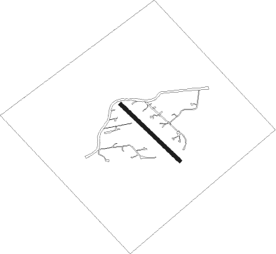
River Falls - St Croix Riviera
Airport details
| Country | United States of America |
| State | Wisconsin |
| Region | |
| Airspace | Minneapolis Ctr |
| Municipality | Town of Clifton |
| Elevation | 895ft (273m) |
| Timezone | GMT -6 |
| Coordinates | 44.84140, -92.75262 |
| Magnetic var | |
| Type | land |
| Available since | X-Plane v10.40 |
| ICAO code | 6WI2 |
| IATA code | n/a |
| FAA code | 6WI2 |
Communication
Nearby Points of Interest:
Erastus Bolles House
-Newington Gilbert House
-John P. Furber House
-South Hall
-North Hall-River Falls State Normal School
-Mitchell Jackson Farmhouse
-H. S. Miller Bank
-Cordenio Severance House
-Hastings Foundry-Star Iron Works
-John T. Cyphers House
-East Second Street Commercial Historic District
-Charles Spangenberg Farmstead
-Dakota County Courthouse
-Norrish House
-West Second Street Residential Historic District
-Rudolph Latto House
-First Presbyterian Church
-VanDyke–Libby House
-Byron Howes House
-Hastings Methodist Episcopal Church
-Ignatius Eckert House
-Thompson–Fasbender House
-MacDonald–Todd House
-Good Templars Hall
-Fasbender Clinic
Nearby beacons
| code | identifier | dist | bearing | frequency |
|---|---|---|---|---|
| RG | REGUE (RED WING) NDB | 15.3 | 157° | 274 |
| MSP | MINNEAPOLIS VOR/DME | 20.8 | 276° | 115.30 |
| FGT | FARMINGTON VORTAC | 22.2 | 244° | 115.70 |
| FCM | FLYING CLOUD (MINNEAPOLIS VOR/DME | 29.4 | 269° | 117.70 |
| GEP | GOPHER (MINNEAPOLIS) VORTAC | 32 | 296° | 117.30 |
| FOW | HALFWAY (MORRISTOWN) VOR/DME | 46.5 | 224° | 111.20 |
| OW | TONNA (OWATONNA) NDB | 49.2 | 208° | 379 |
| RP | WICKR (RICE LAKE) NDB | 49.4 | 63° | 221 |
| ROS | RUSH CITY NDB | 52 | 347° | 282 |
| PNM | PRINCETON NDB | 56.5 | 310° | 368 |
| RZN | DME | 60.9 | 21° | 109.40 |
| BXR | BIG DOCTOR (SIREN) NDB | 61 | 22° | 203 |
Disclaimer
The information on this website is not for real aviation. Use this data with the X-Plane flight simulator only! Data taken with kind consent from X-Plane 12 source code and data files. Content is subject to change without notice.
