Death Valley Junction - Amargosa
Airport details
| Country | United States of America |
| State | California |
| Region | |
| Airspace | Los Angeles Ctr |
| Municipality | CAL Fire San Bernardino Unit |
| Elevation | 2037ft (621m) |
| Timezone | GMT -8 |
| Coordinates | 36.30138, -116.41723 |
| Magnetic var | |
| Type | land |
| Available since | X-Plane v10.32 |
| ICAO code | 70CL |
| IATA code | n/a |
| FAA code | 70CL |
Communication
Nearby Points of Interest:
amargosa opera house & hotel
-Eagle Borax Works
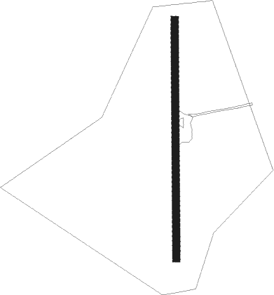
Runway info
| Runway 17 / 35 | ||
| length | 588m (1929ft) | |
| bearing | 185° / 5° | |
| width | 18m (60ft) | |
| surface | dirt | |
Nearby beacons
| code | identifier | dist | bearing | frequency |
|---|---|---|---|---|
| BTY | BEATTY VORTAC | 33.9 | 327° | 114.70 |
| INS | INDIAN SPRINGS TACAN | 39.9 | 69° | 114 |
| GOG | DME | 50.9 | 114° | 112.05 |
| MCY | MICKEY (MERCURY) VORTAC | 64 | 34° | 117.50 |
Disclaimer
The information on this website is not for real aviation. Use this data with the X-Plane flight simulator only! Data taken with kind consent from X-Plane 12 source code and data files. Content is subject to change without notice.