Desert Center - Iron Mountain Pumping Plant
Airport details
| Country | United States of America |
| State | California |
| Region | |
| Airspace | Los Angeles Ctr |
| Municipality | San Bernardino County |
| Elevation | 890ft (271m) |
| Timezone | GMT -8 |
| Coordinates | 34.13842, -115.11992 |
| Magnetic var | |
| Type | land |
| Available since | X-Plane v10.40 |
| ICAO code | 72CL |
| IATA code | n/a |
| FAA code | 72CL |
Communication
| IRON MOUNTAIN PUMPING PLANT CTAF | 122.900 |
Nearby Points of Interest:
Turtle Mountains
Runway info
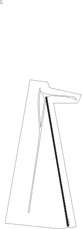
| Runway 17 / 35 | ||
| length | 976m (3202ft) | |
| bearing | 174° / 354° | |
| width | 10m (32ft) | |
| surface | asphalt | |
Nearby beacons
| code | identifier | dist | bearing | frequency |
|---|---|---|---|---|
| PKE | PARKER VORTAC | 21.8 | 95° | 117.90 |
| TNP | TWENTYNINE PALMS VORTAC | 32.3 | 268° | 114.20 |
| BLH | BLYTHE VORTAC | 37.1 | 147° | 117.40 |
| EED | NEEDLES VORTAC | 49.4 | 46° | 115.20 |
| GFS | GOFFS VORTAC | 59.6 | 357° | 114.40 |
Disclaimer
The information on this website is not for real aviation. Use this data with the X-Plane flight simulator only! Data taken with kind consent from X-Plane 12 source code and data files. Content is subject to change without notice.