Yosemite Lakes - Yosemite Hidden Lake Ranch 0cl0
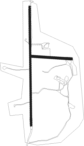
Airport details
| Country | United States of America |
| State | California |
| Region | |
| Airspace | Oakland Ctr |
| Municipality | Madera County |
| Elevation | 500ft (152m) |
| Timezone | GMT -8 |
| Coordinates | 37.12323, -119.91269 |
| Magnetic var | |
| Type | land |
| Available since | X-Plane v10.40 |
| ICAO code | 72Q |
| IATA code | n/a |
| FAA code | n/a |
Communication
Nearby Points of Interest:
Fort Miller
-Einstein House
-Fresno Bee Building
-Bank of Italy
-San Joaquin Light and Power Corporation Building
-Southern Pacific Depot
-Fresno Municipal Sanitary Landfill
-Hornitos Masonic Hall No. 98
-The Wawona Hotel and Studio
-Chris Jorgensen Studio
-Yosemite Transportation Company Office
-Hodgdon Homestead Cabin
-Acting Superintendent's Headquarters
-Thomas H. Leggett House
-Maj. George Beecher Cook House
-Leggett House
-Kaehler-Rector House
-United States Post Office (Merced, California)
-Merced County High School
-Fowler

Nearby beacons
| code | identifier | dist | bearing | frequency |
|---|---|---|---|---|
| CZQ | CLOVIS (FRESNO) VORTAC | 15 | 158° | 112.90 |
| FRA | FRIANT VORTAC | 15.2 | 93° | 115.60 |
| HYP | EL NIDO (MERCED) VOR/DME | 24 | 281° | 114.20 |
| NLC | NAVY LEMOORE TACAN | 46.8 | 184° | 113.30 |
| PXN | PANOCHE VORTAC | 48.2 | 245° | 112.60 |
| VIS | VISALIA VOR/DME | 49.9 | 150° | 109.40 |
Disclaimer
The information on this website is not for real aviation. Use this data with the X-Plane flight simulator only! Data taken with kind consent from X-Plane 12 source code and data files. Content is subject to change without notice.