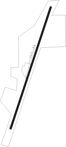
Horseshoe Bend - Salem
Airport details
| Country | United States of America |
| State | Arkansas |
| Region | K4 |
| Airspace | Memphis Ctr |
| Municipality | Fulton County |
| Elevation | 787ft (240m) |
| Timezone | GMT -6 |
| Coordinates | 36.35591, -91.83096 |
| Magnetic var | |
| Type | land |
| Available since | X-Plane v10.40 |
| ICAO code | 7M9 |
| IATA code | n/a |
| FAA code | n/a |
Communication
| Salem CTAF | 122.900 |
Nearby Points of Interest:
Camp Methodist Church
-Saddle Store
-Pine Ridge School Building
-AR 289 Bridge Over English Creek
-Grand Gulf State Park
-Old Kia Kima
-T.H. Morris House
-Spring River Bridge
-Rector Log Barn
-Saint Andrew's Episcopal Church
-Fred Carter House
-William Shaver House
-Silas Sherrill House
-Esther Locke House
-Hardy Downtown Historic District
-Thomas Walker House
-David L. King House
-Hardy Cemetery
-Lee Weaver House
-Ernest Daugherty House
-County Line School and Lodge
-Sherman Bates House
-Sherman and Merlene Bates House
-Carrie Tucker House
-Fred Graham House
Nearby beacons
| code | identifier | dist | bearing | frequency |
|---|---|---|---|---|
| FLP | DME | 30.5 | 265° | 116.05 |
| HUW | DME | 31.1 | 352° | 111.60 |
| BV | ALMND (BATESVILLE) NDB | 39.2 | 177° | 335 |
| TNZ | LAWRENCE COUNTY (WALNUT RIDGE) NDB | 44.8 | 99° | 227 |
| ARG | WALNUT RIDGE VORTAC | 44.9 | 106° | 114.50 |
Disclaimer
The information on this website is not for real aviation. Use this data with the X-Plane flight simulator only! Data taken with kind consent from X-Plane 12 source code and data files. Content is subject to change without notice.